Back in the olden times, moving stuff and people around Europe could be
a dicey proposition. The roads were often of questionable or unquestionably
poor quality, and the beasts of burden and the vehicles they pulled had a
tendency to break down. Thieves with varying degrees of ruthlessness preyed
upon the unwary, or those who could not afford guards. These problems could
be mitigated somewhat through use of boats for transport. This tactic of
course required that a body of water be involved, usually a river if starting
point and destination were not both located on a coast. One of the most
popular such "highways" was (and remains) the river Rhine, the longest river
in modern-day Germany at 764 miles.
Cruising on the Rhine with your stuff had a number of advantages over
land-based transportation. It was somewhat safer, and it was faster (the
river never needs to rest). There was less wear and tear on a boat than
there was on animals and carts traveling the same distance with the same
load. As implemented between 800 AD and 1800 AD, it was not free,
however. Every so often along the banks there would be a castle and a
nobleman who would demand a toll (either in cash or cargo) for permission to
use a stretch of the river. This system was sanctioned and regulated by the
Holy Roman Emperor, who received a cut of the proceeds. Boats were prevented
from running past toll stations by the stretching of long iron chains across
the river.
This system remained in effect until it was destroyed by revolutionary and
Napoleonic soldiers from France. But later in the 19th Century, with
Romanticism being the fashion, many of the castles were restored or rebuilt,
though no longer with their original purpose. An especially high
concentration of these castles exists in what is called the Rhine River
Gorge, which stretches roughly between the cities of Mainz in the south and
Koblenz in the north. The most picturesque portion of the Gorge can be found
in the stretch between the small towns of Bacharach and St. Goar, and this
stretch was our destination for the day.
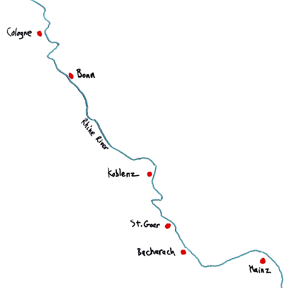
Rhine Map - Cologne to Mainz
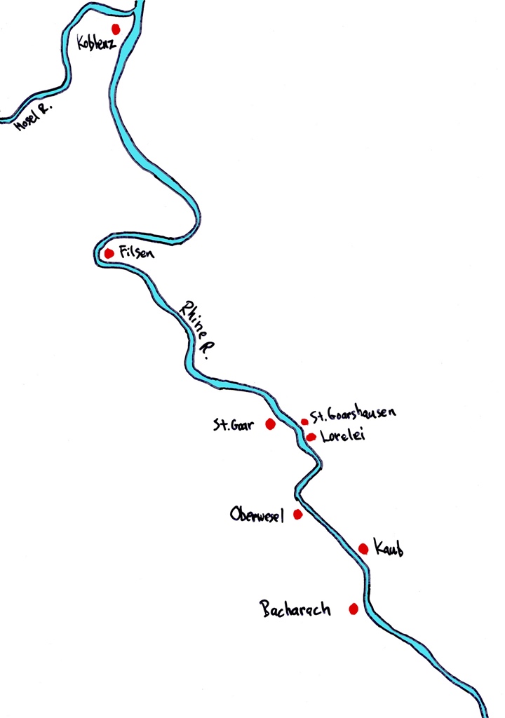
Rhine Map - Koblenz to Bacharach
Our expedition began with a walk to the train station, by way of the
cathedral. The lady at the ticket window said we needed two tickets, one
for the trip to the town of Koblenz, and another for travelling between the
Rhine towns south of that point, which is done on a separate line. Both
tickets were flexible, with the choice of which trains to ride being ours
(as long as we finished our trip before midnight).
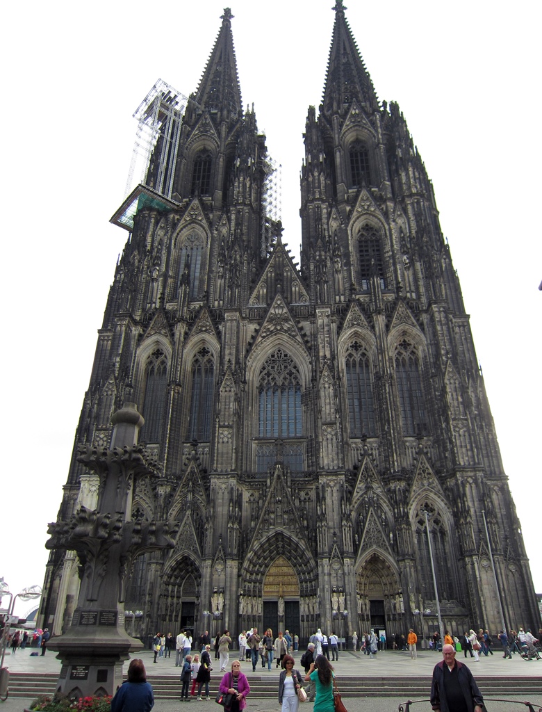
Cathedral
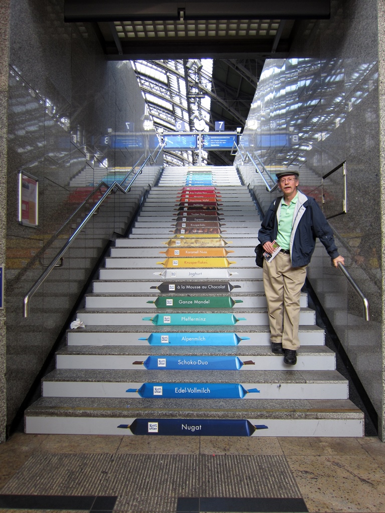
Bob and Ritter Sport Staircase, Train Station
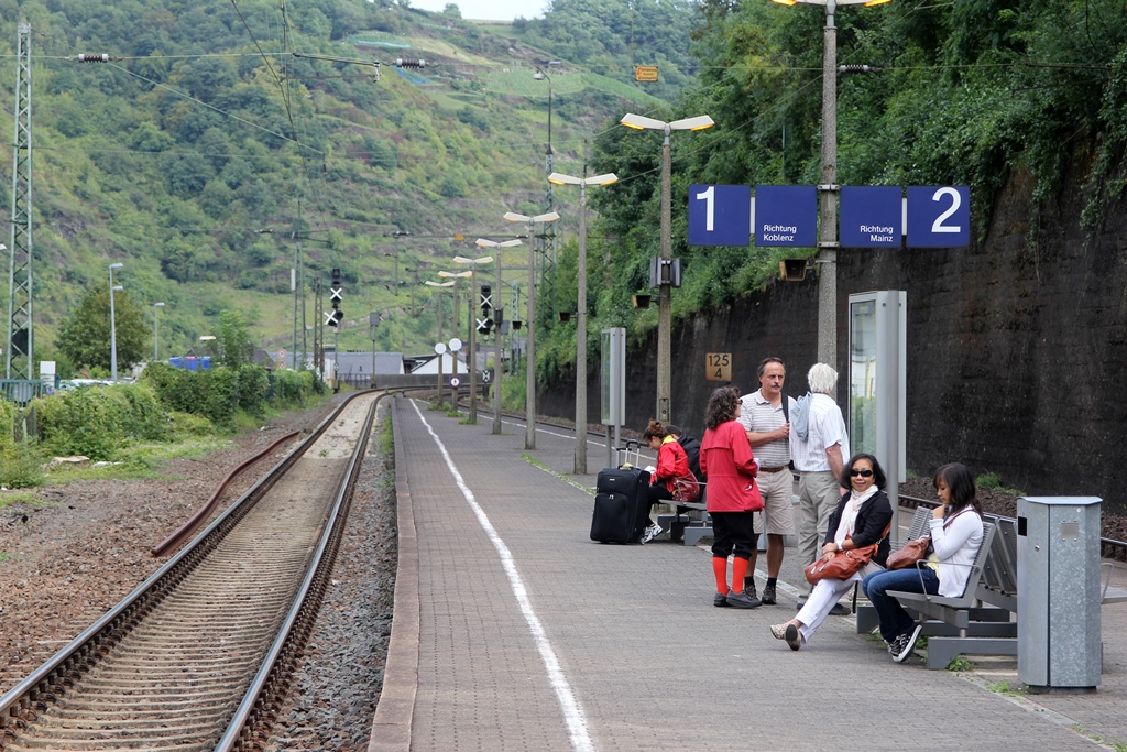
The train route did not follow the river the entire way, giving us a
chance to see a little bit of German agriculture.
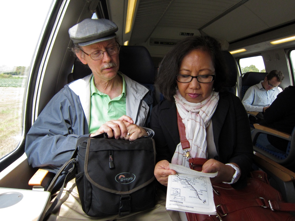
Bob and Nella on Train
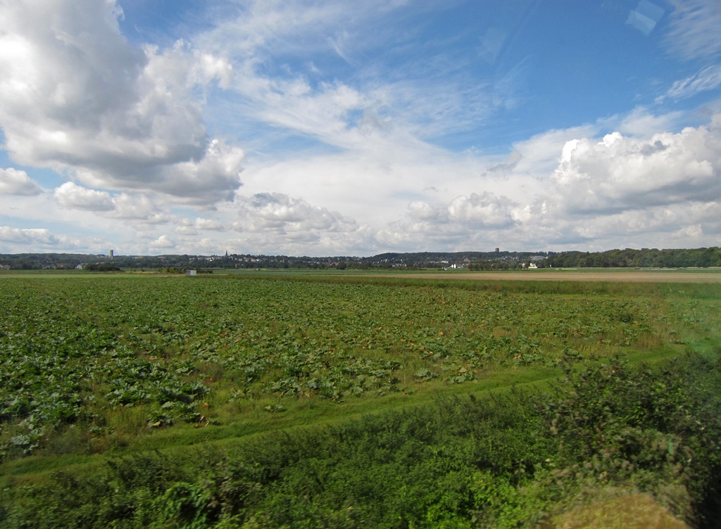
German Countryside
We changed trains at Koblenz as instructed, and the new line followed the
river closely.
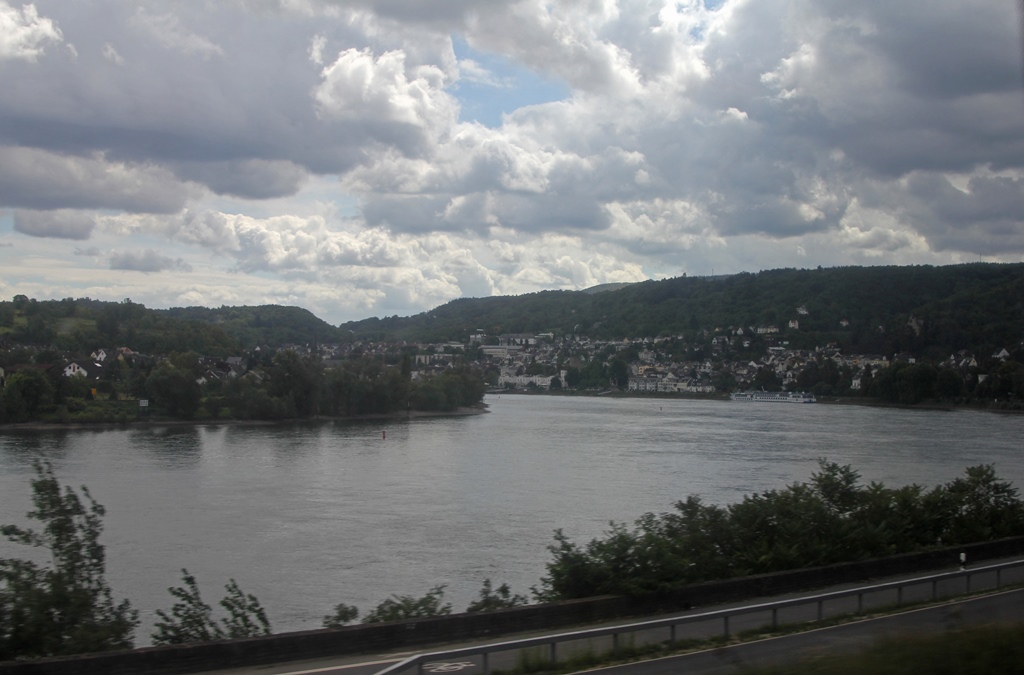
Rhine River Near Filsen
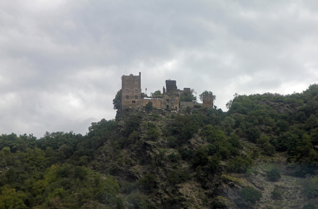
Burg Liebenstein, Kamp-Bornhofen (1284)
Our plan was to take the train south to the town of Bacharach, explore
the town, and then ride on a tour boat back north to St. Goar, where we
would reboard the train and return to Cologne. Rather than burden you
with two passes at the same places, each town we saw will be presented
just once, working from south to north.
Bacharach is a picturesque town with a history closely related to the
wine trade. It was a location where duties had to be paid on wine as
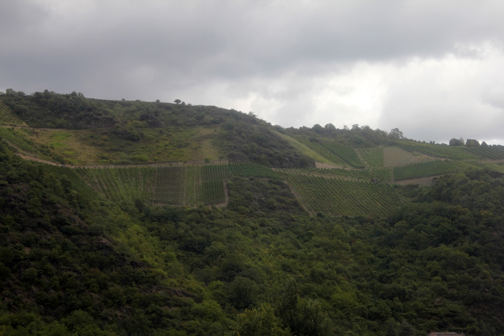
far back as the 12th Century, and today it’s surrounded by vineyards (as
are the other towns along this part of the Rhine – the grapes growing
within the gorge are apparently superior to those that grow in the
surrounding highlands). A castle called Stahleck Castle was built as a
fortification in the 12th Century. The castle saw a fair amount of
action over the centuries – it was repeatedly besieged, and it was
sacked eight times during the Thirty Years’ War. It was blown up by
French troops in 1689, during the War of the Palatine Succession. It
remained as a ruin until the 20th Century, when it was rebuilt as a
youth hostel (in the 1920’s). It was briefly used by the Nazis as an
indoctrination center for German youth, and later as a holding facility
for uncooperative youth on their way to The Front or to concentration
camps. It has since reverted to its happier use as a youth hostel.
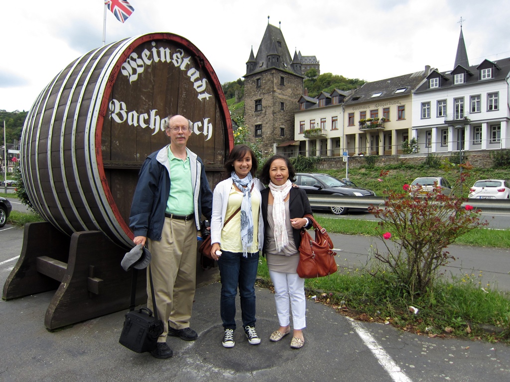
Family with Big Wine Barrel
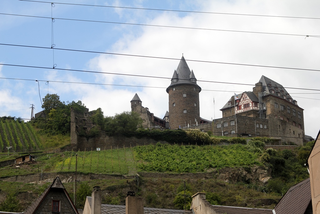
Stahleck Castle (ca. 1135)
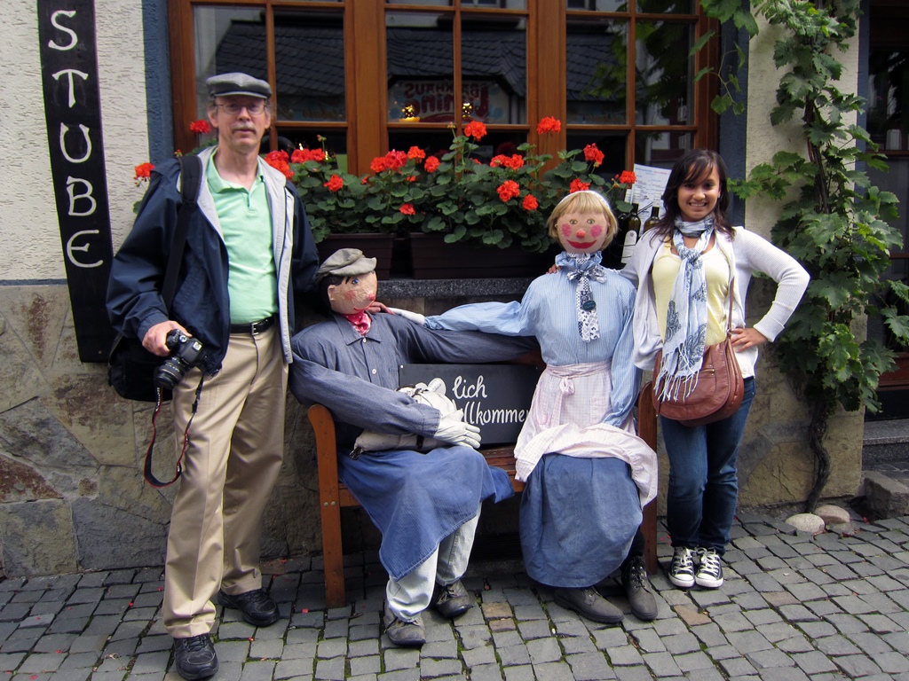
We spent some time walking around the compact town, looking into
store windows and searching for lunch. Bacharach was pleasant and
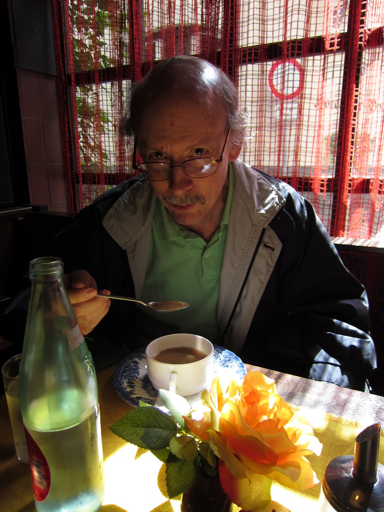
not crowded at all. We eventually decided on trying a small
restaurant where the proprietors were friendly and the other customers
seemed to be locals. The food was clearly prepared on the premises
and delicious.
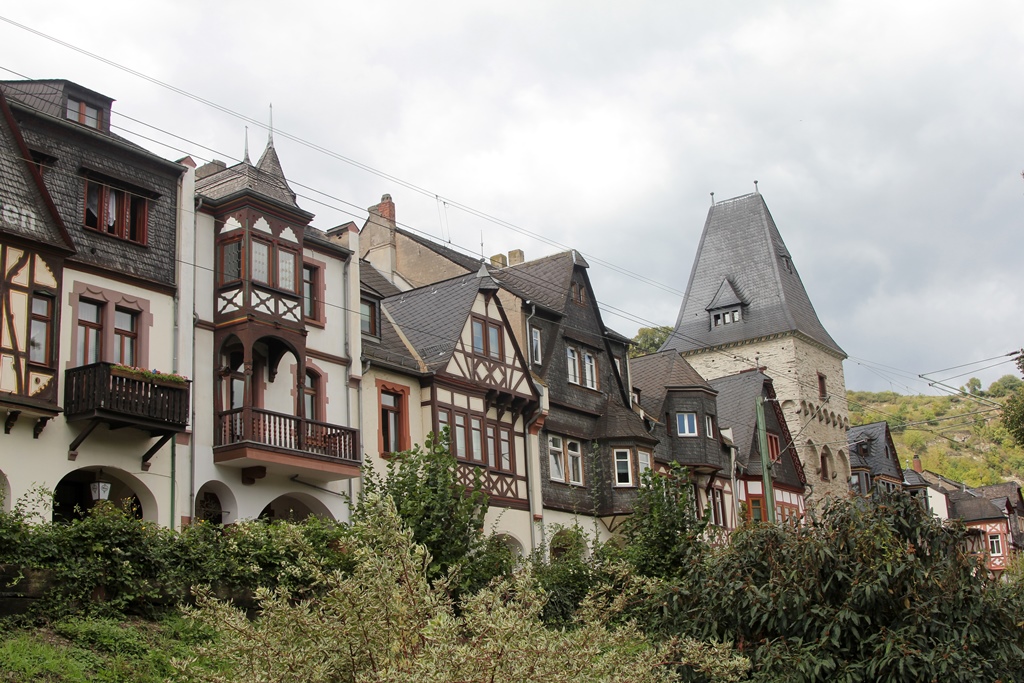
Half-Timbered Houses
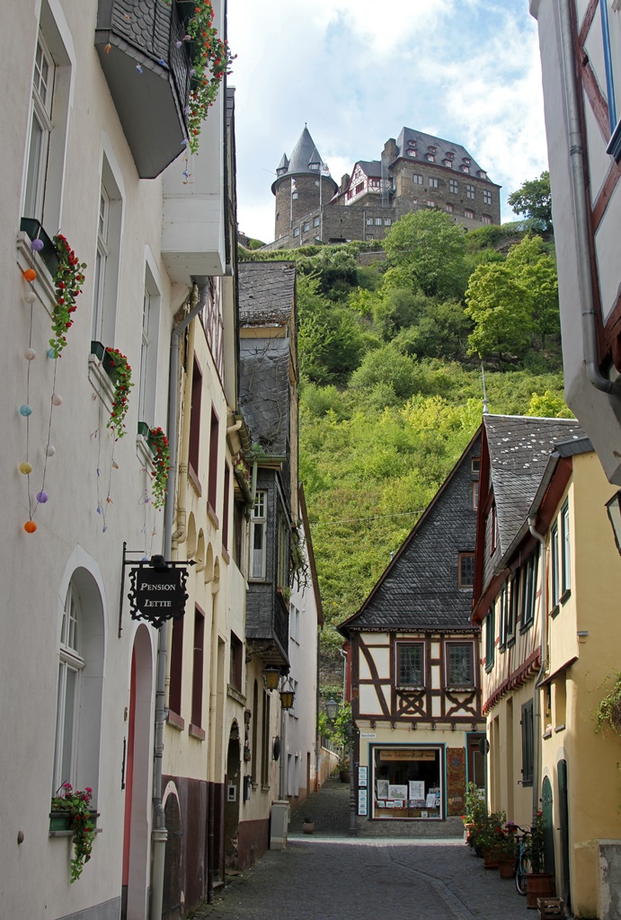
Narrow Street, Stahleck Castle
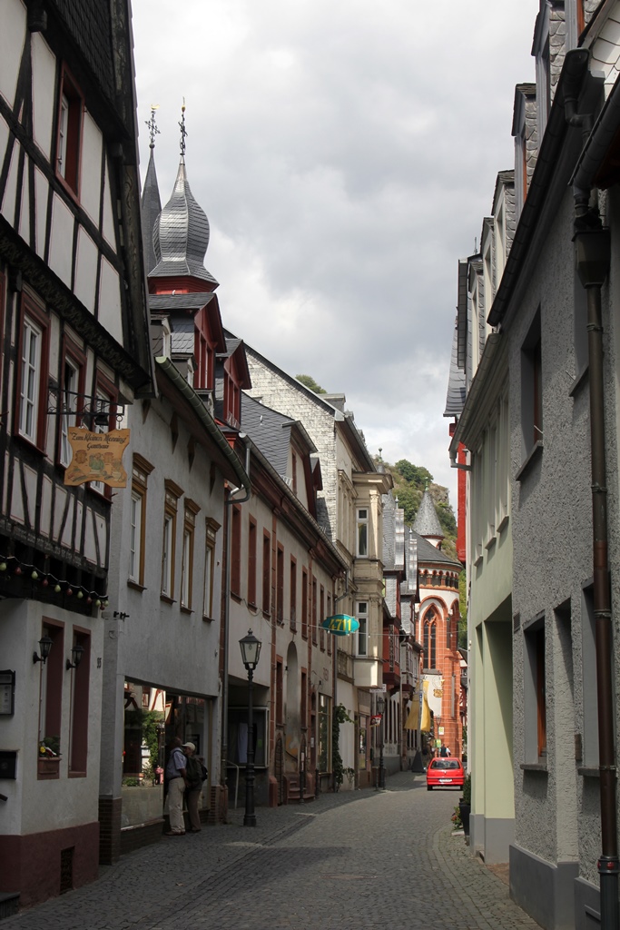
Oberstrasse
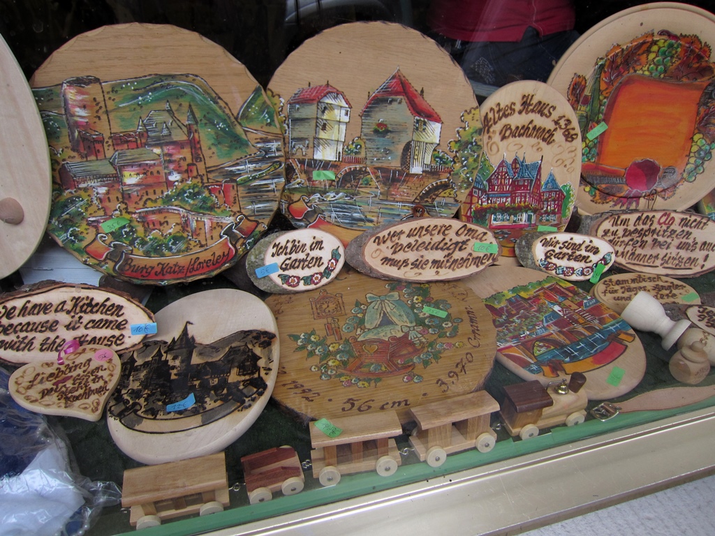
Bilingual Wood
Bob and Connie and Locals
Bob and Soup
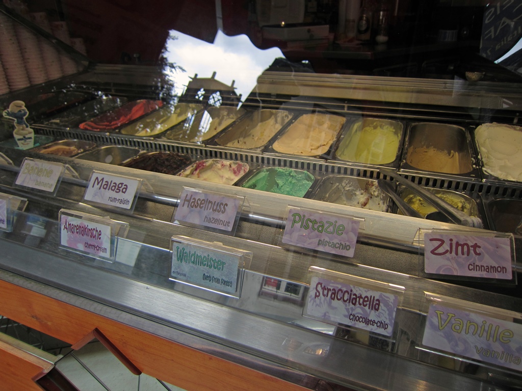
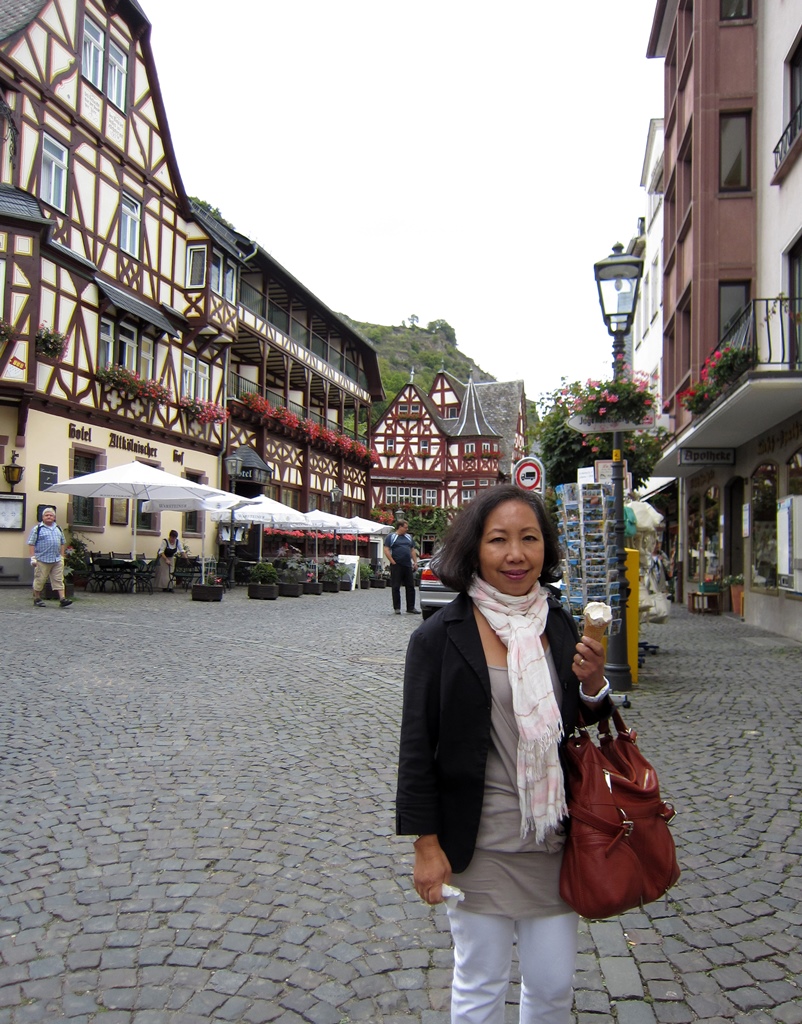
After lunch we got dessert at a gelato shop just down the street.
Gelato Store
Nella and Gelato
Toward the end of the Oberstrasse we found the Altes Haus, the
oldest intact structure in town (built in 1368).
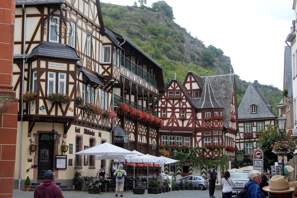
Hotel Altkölnischer Hof and Altes Haus
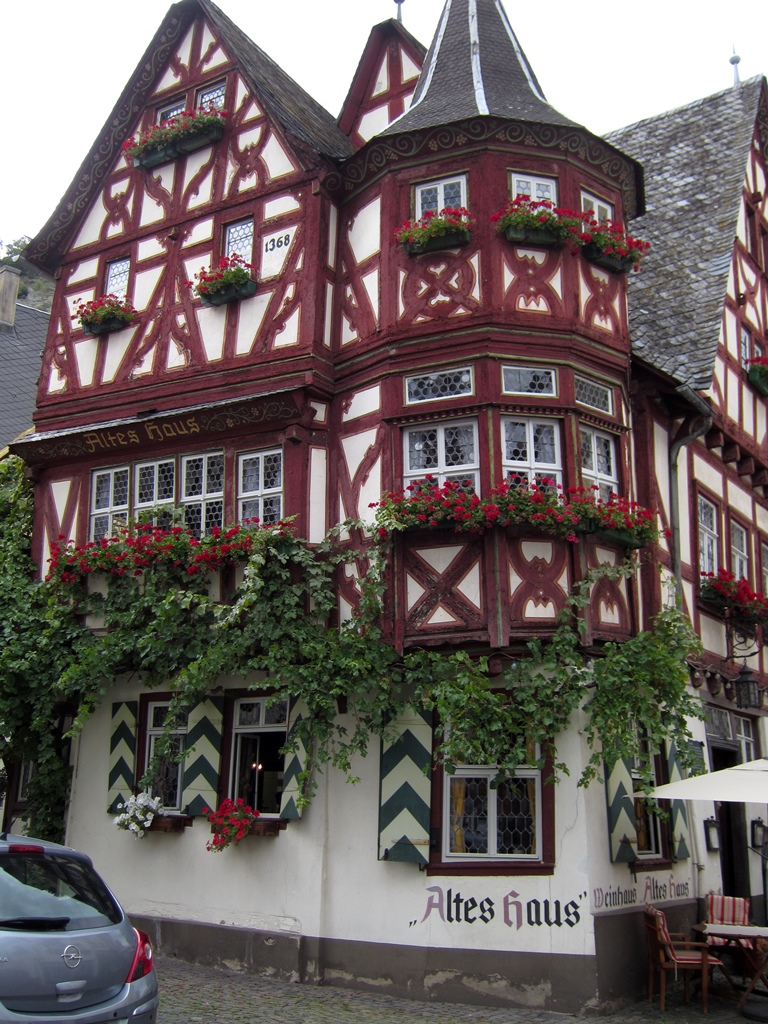
Altes Haus (1368)
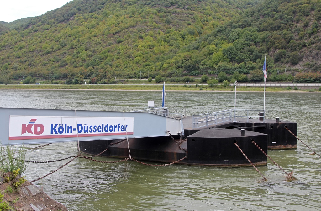
At this point it seemed like time to figure out the tour boat part of our
plan, so we headed toward the river. It turned out not to be too complicated –
there was a ticket office for the Köln-Düsseldorfer line on the river bank,
with a short pier jutting out into the river from it. We went up to the window
and told them what we wanted, and they told us what it would cost. So we paid
them and they gave us tickets, and there was nothing else to do but wait for
the boat. And take some pictures, of course:
Bacharach from Landing
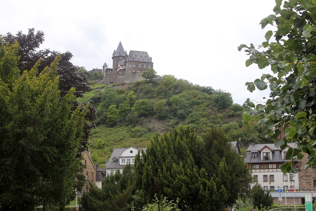
Stahleck Castle on Hill
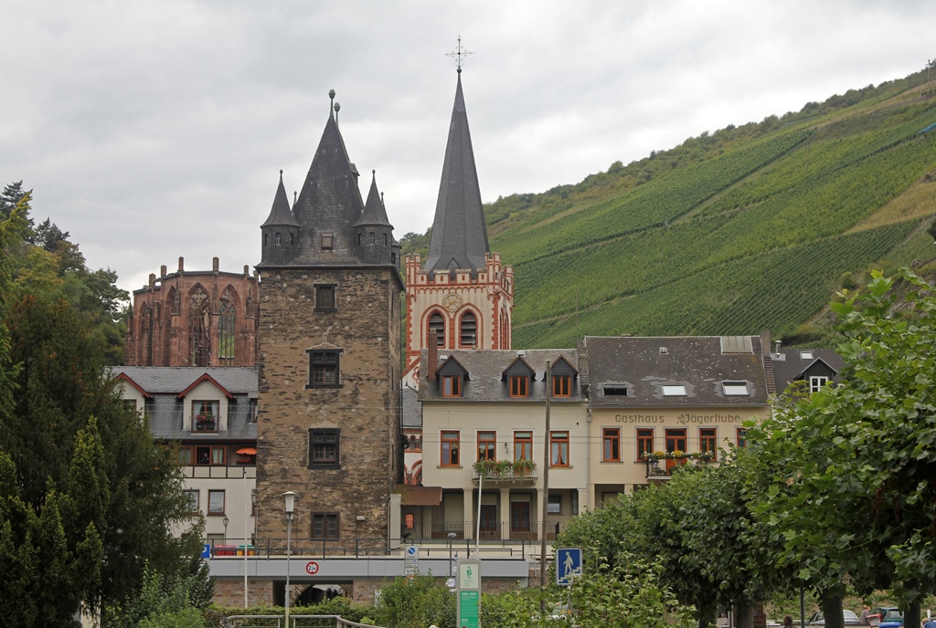
Buildings, Towers and Chapel Ruin

Rhine River
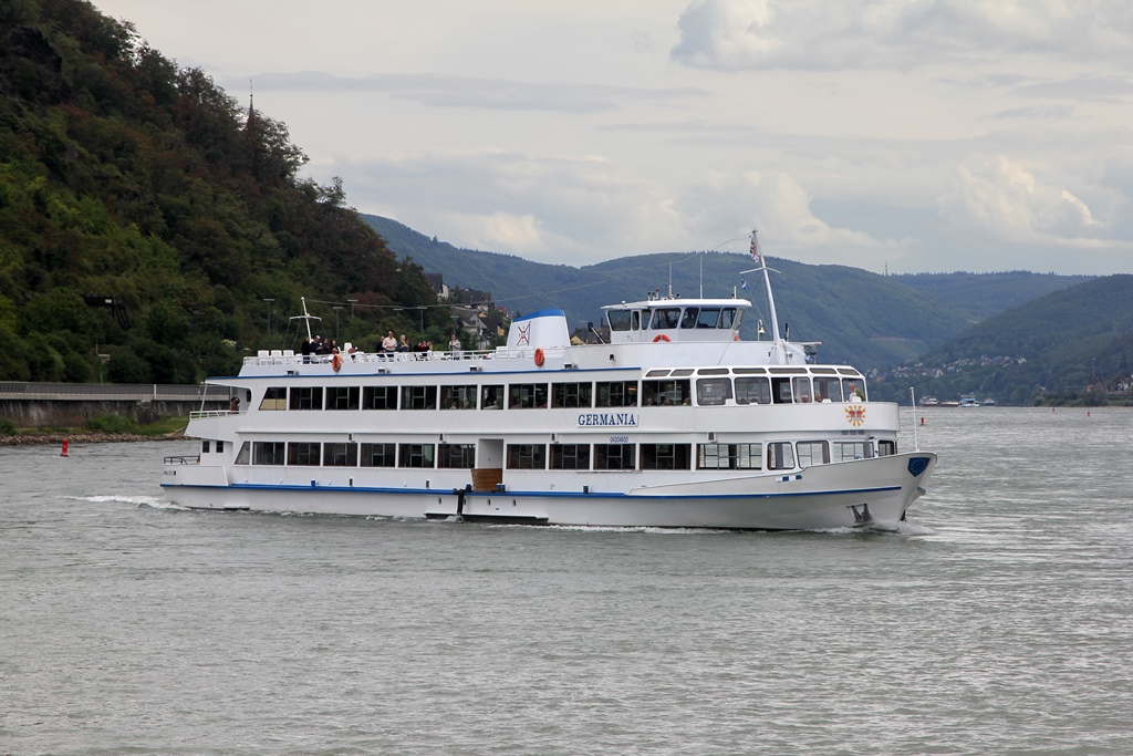
Germania River Boat
Bacharach Boat Landing

Königsbacher Maneuvering for Landing
Once the boat had finished parallel parking, we boarded and found that we had
a choice of either sitting below, out of the elements, and enjoying the view
through windows, or of sitting out in the wind. We opted for the wind, so our
view would be unencumbered. Our first view was a good look at Bacharach.
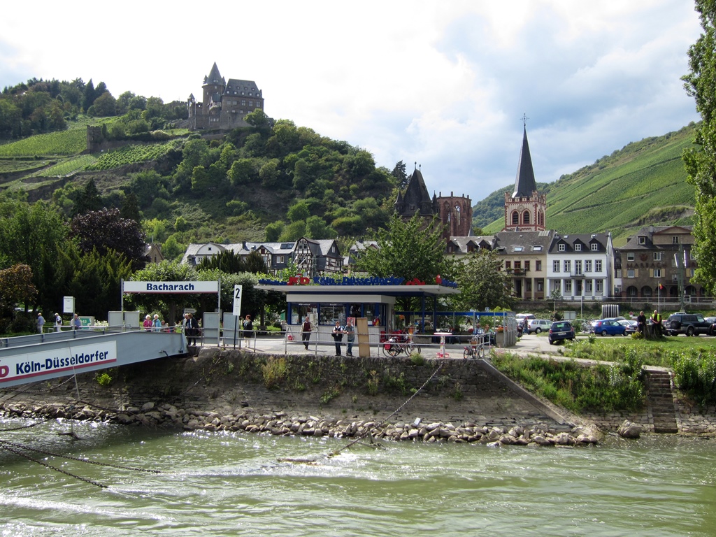
Bacharach from Boat
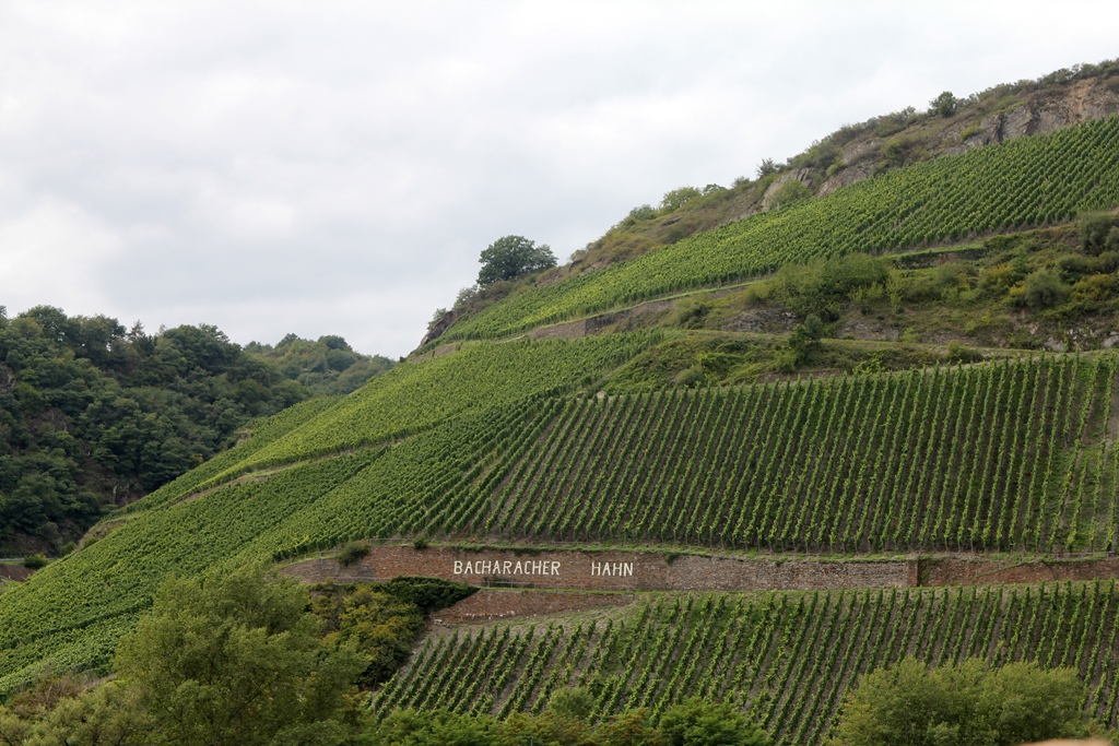
Vineyard near Bacharach
We shoved off and entered the strong current of the Rhine, which happened
to be flowing in the direction of our intended travel. We were not alone
in this happy coincidence, as we came across a number of long, flat barges
that were transporting their cargo northward.

Passing a Barge
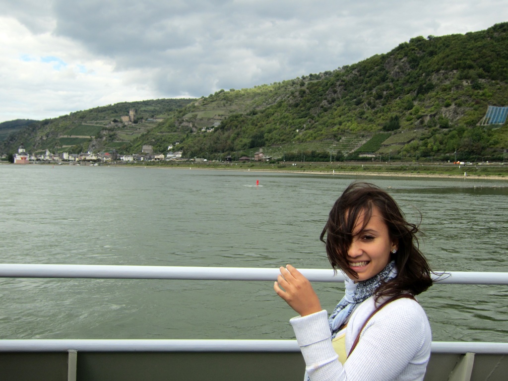
Connie on Boat
The boat on which we were travelling was something of an area transit option,
along with the trains and buses. This being the case, we made stops at each of
the towns we passed, with passengers leaving and boarding at each stop. Our
first stop was across the river and downstream from Bacharach, a town called
Kaub. Kaub actually has two castles to its name, a castle uphill from the town
which is called Castle Gutenfels (built in 1220) and a castle
located on a small island in the river, known as Castle
Pfaltzgrafenstein. Pfalzgrafenstein was added as a complement to Gutenfels in
1326-27, and between them the two castles made for a formidable defensive
fortification. They also made toll collection very difficult to avoid
(especially when Pfalzgrafenstein pulled up its massive chain to block the way),
and those who tried were captured and held for ransom in a dungeon in
Pfalzgrafenstein. Unlike most of the other castles along the Rhine, the two
castles of Kaub were never destroyed, but kept collecting tolls all the way up
to 1867. Gutenfels is now a hotel, and Pfalzgrafenstein has become a museum.
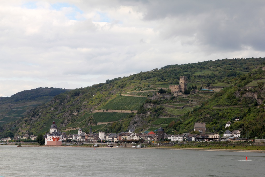
Kaub
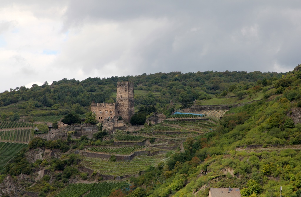
Castle Gutenfels
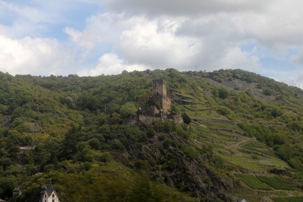
Castle Gutenfels
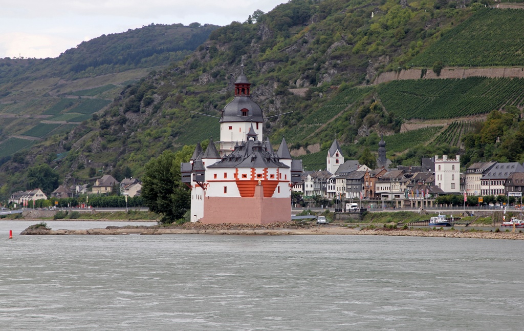
Pfalzgrafenstein Castle

Kaub and Castles
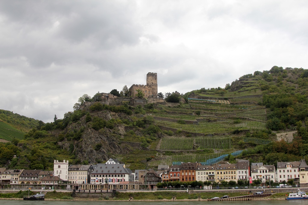
Kaub and Castle Gutenfels
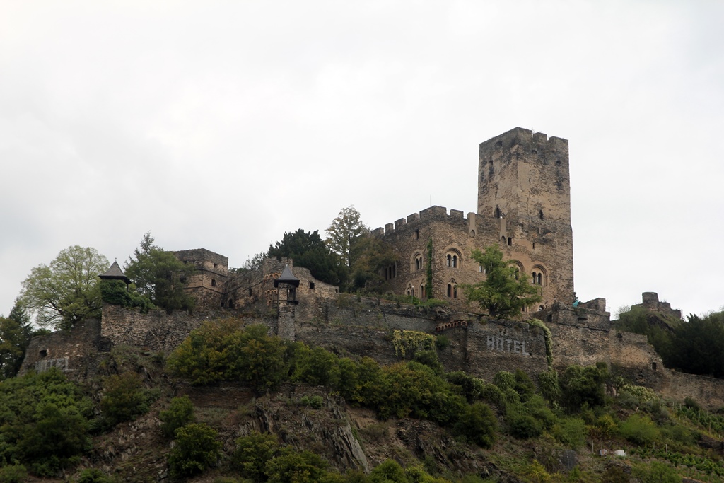
Castle Gutenfels
The next stop for the boat was back on the Bacharach side of the river,
the town of Oberwesel. Oberwesel is more than twice the size of Kaub,
but has only one castle, the Castle Schönburg. This castle dates back
to at least the 12th Century, and like the Stahleck Castle in Bacharach,
was destroyed by the French in 1689. A certain amount of restoration
work was begun late in the 19th Century, but the castle didn’t acquire
its present use until the 1950’s, when it became a hotel/restaurant.
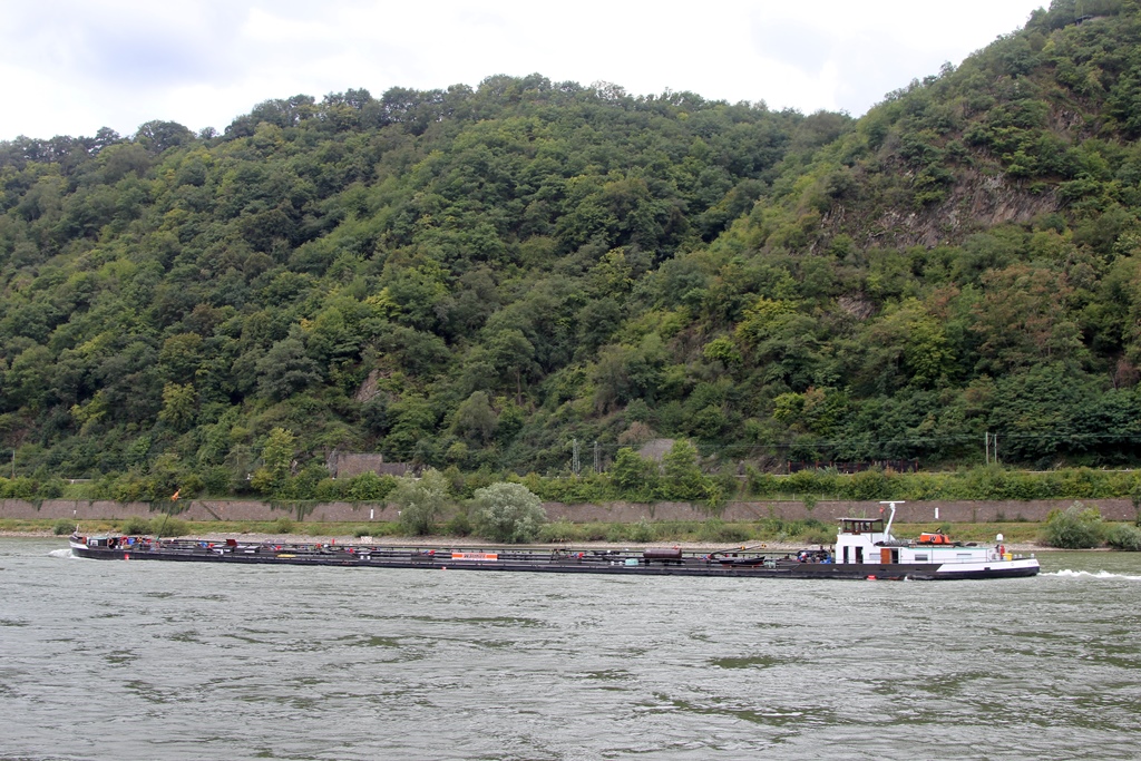
A Barge
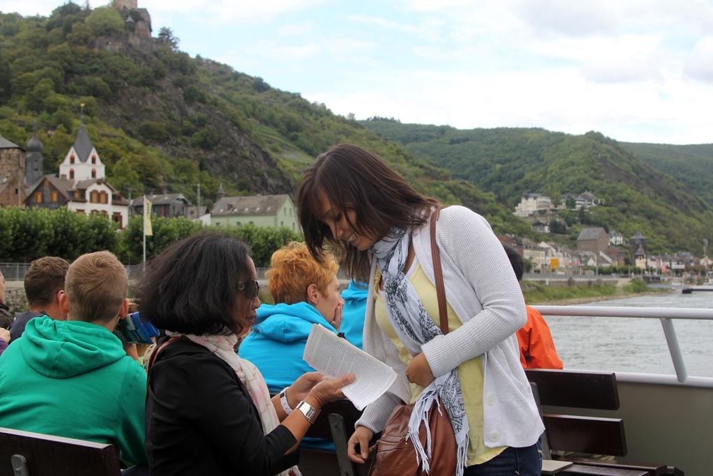
Nella and Connie
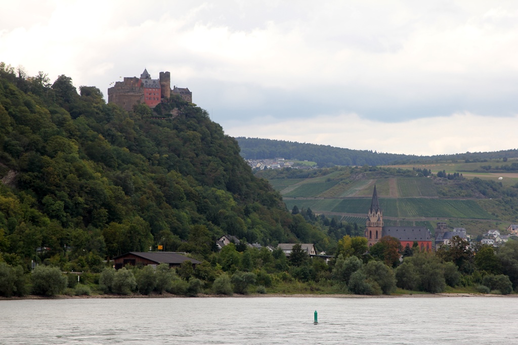
Schönburg Castle and Church of Our Lady
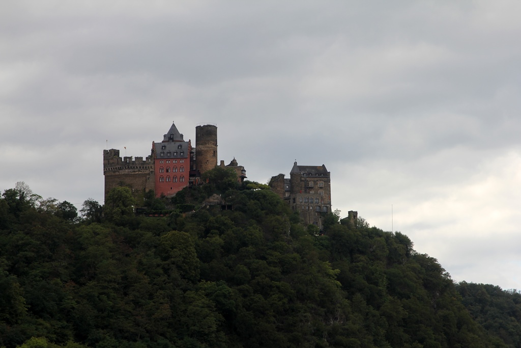
Schönburg Castle
Oberwesel has a number of other structures of historical note along its
waterfront. Here are a few of them:
Oberwesel End-to-End
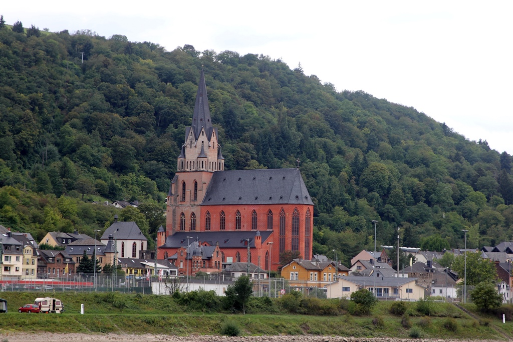
Church of Our Lady
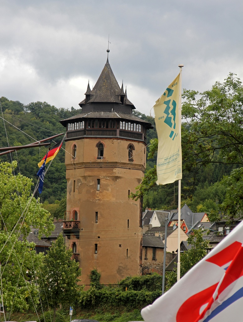
Haags Tower
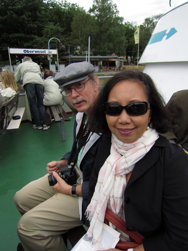
Bob and Nella
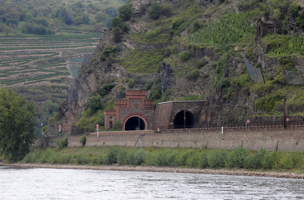
Tunnels Across River
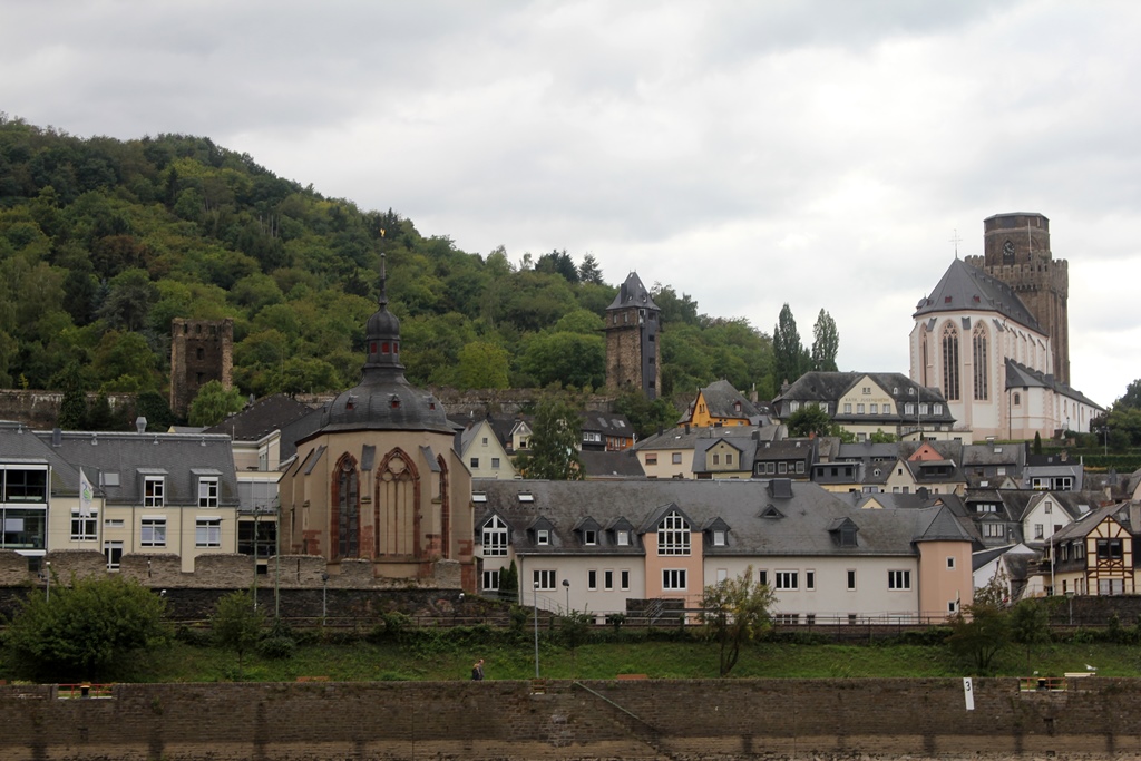
Oberwesel with Wernerkapelle
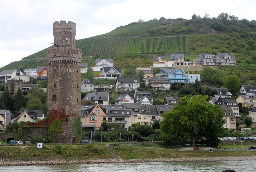
Oberwesel with Ox Tower
The next landmark we were to encounter is the best-known landmark of any
on this stretch of the river: the Lorelei Rock. The Lorelei Rock is a
large rock (nearly 400 feet tall) on the east bank of the Rhine, around
which the river takes a sharp bend. This is the narrowest, deepest and
fastest portion of the navigable part of the river, and there are a number
of treacherous rocks below the waterline in this stretch which have caused
the destruction of many vessels since the river started being used for
transportation. The legendary Lorelei is a ghostly woman who sings sailors
to their dooms, and this legend has been immortalized in poetry and song.

Approaching Lorelei Rock (with Narration)
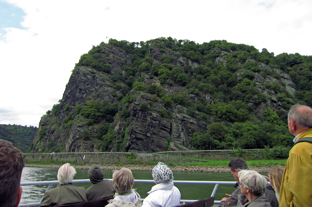
Lorelei Rock
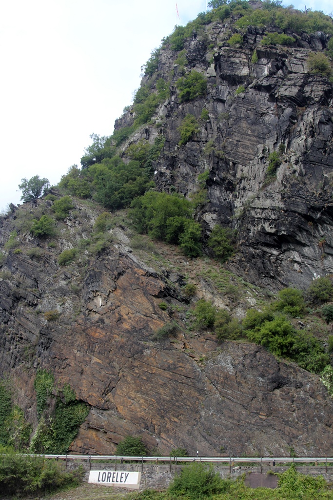
Lorelei Rock
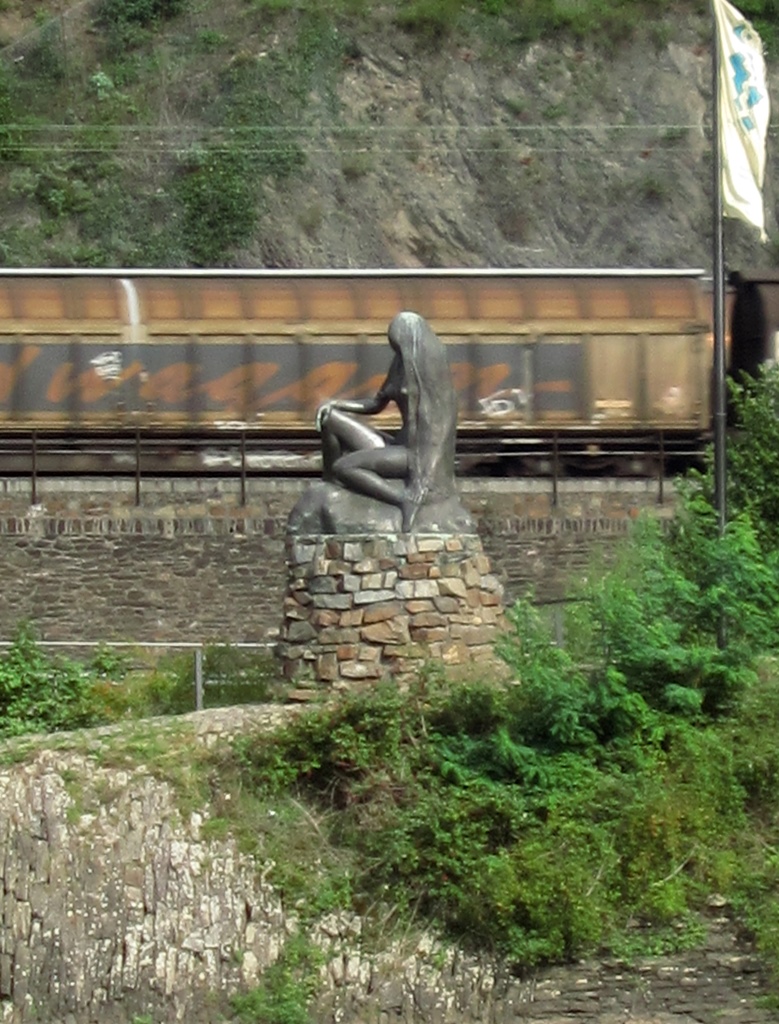
Lorelei Statue
We managed to survive the Lorelei Rock, and just past it on the same bank
was the town of St. Goarshausen, just across the river from our final landing
at St. Goar. St. Goarshausen is the location of two castles, both uphill
from the town, named Castle Katz and Castle Maus. Castle Katz dates back to
1371 and was destroyed by Napoleon in 1806. It was repaired late in the same
century, and is now privately owned. Castle Maus was built late in the 14th
Century but was never destroyed. It still needed repair work in the early
20th Century, and is now home to an aviary.
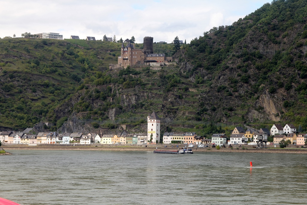
Katz Castle and St. Goarshausen
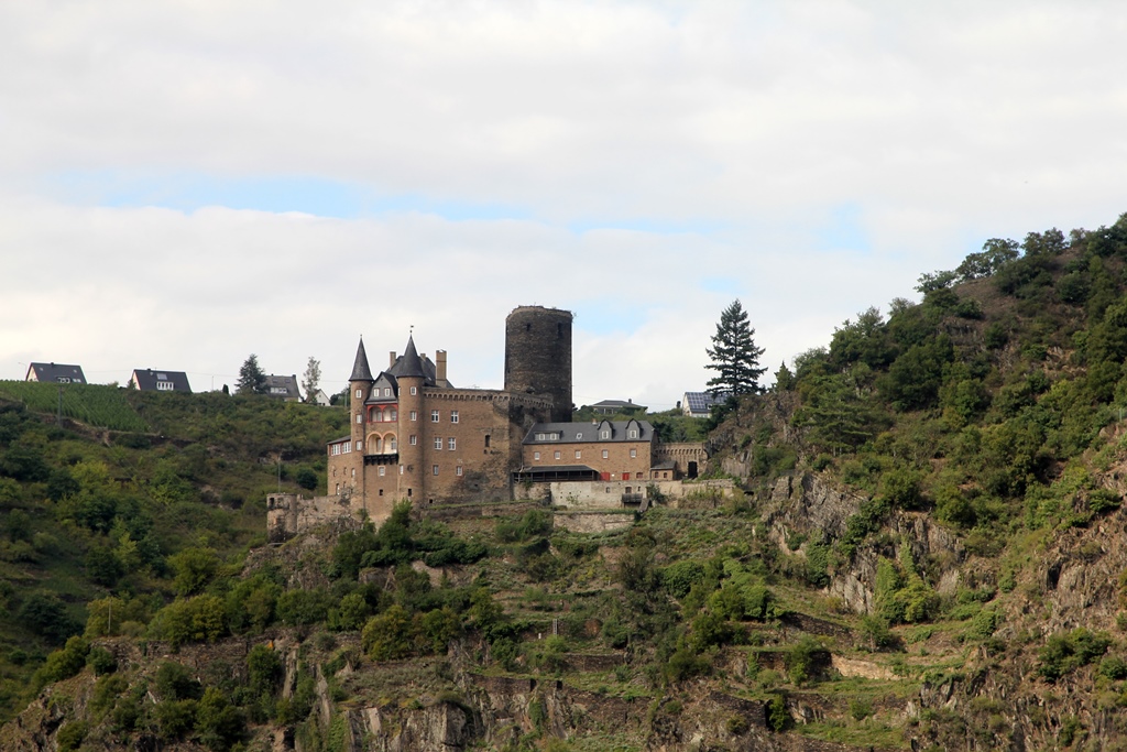
Katz Castle
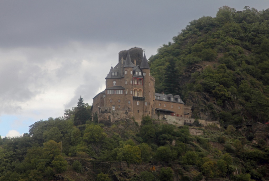
Katz Castle
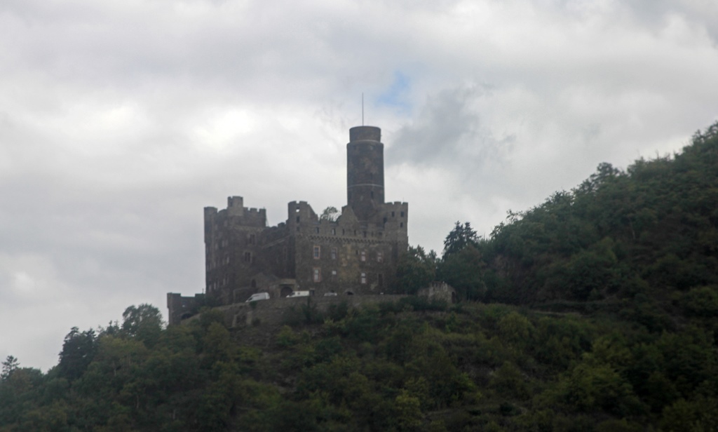
Maus Castle
Vineyards Near St. Goarshausen
The boat took us across the river to our final stop, St. Goar, where
we disembarked and headed for the train station. There didn’t seem
to be much to see in the town itself, but up the hill was Rheinfels
Castle, the largest castle on the Rhine. The French destroyed the
castle in 1797, and much of the castle complex remains a ruin, but
there are some buildings that are now used as hotel and restaurant. But
we were tired and didn’t much feel like exploring a large castle ruin,
so we just caught the next train back toward Cologne.
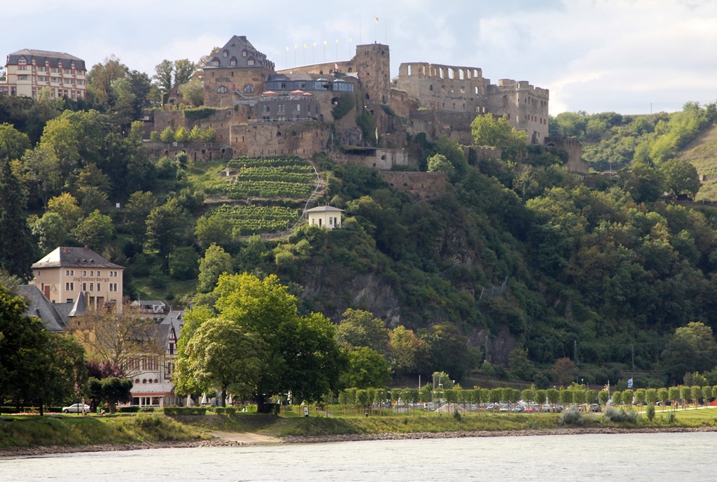
St. Goar and Rheinfels Castle
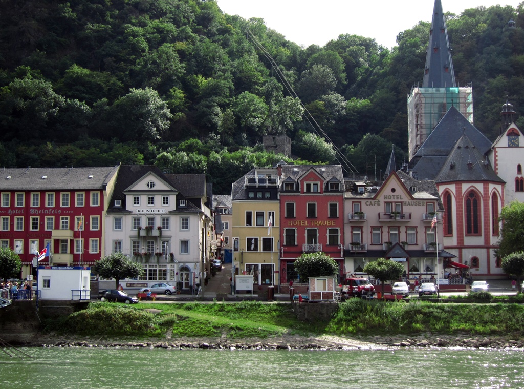
St. Goar
Nella and Connie at Train Station
We switched trains again at Koblenz, but unfortunately made a bad mistake. We got
on the first train that was headed toward Cologne, and were immediately taken with
how luxurious the train seemed, compared to the others we had ridden on. We began
to get the sense that maybe we didn’t belong on this train, but before we could do
anything about it the doors closed and the train started moving. We decided we
would get off as soon as we could, but the train kept passing through all of the
lesser train stations without stopping. Eventually the conductor came by and asked
to see our tickets. We showed him what we had, and as we suspected he said they
were no good for this train, as it was an “Intercity” train. We didn’t know what
this meant, but he explained it by immediately charging us a considerable sum for
Intercity train tickets, which we had no choice but to pay. He tried to sell us
tickets all the way back to Cologne, but since we already had tickets for getting
back to Cologne (on a lesser train), we elected to just go as far as the next stop,
which was the city of Bonn.
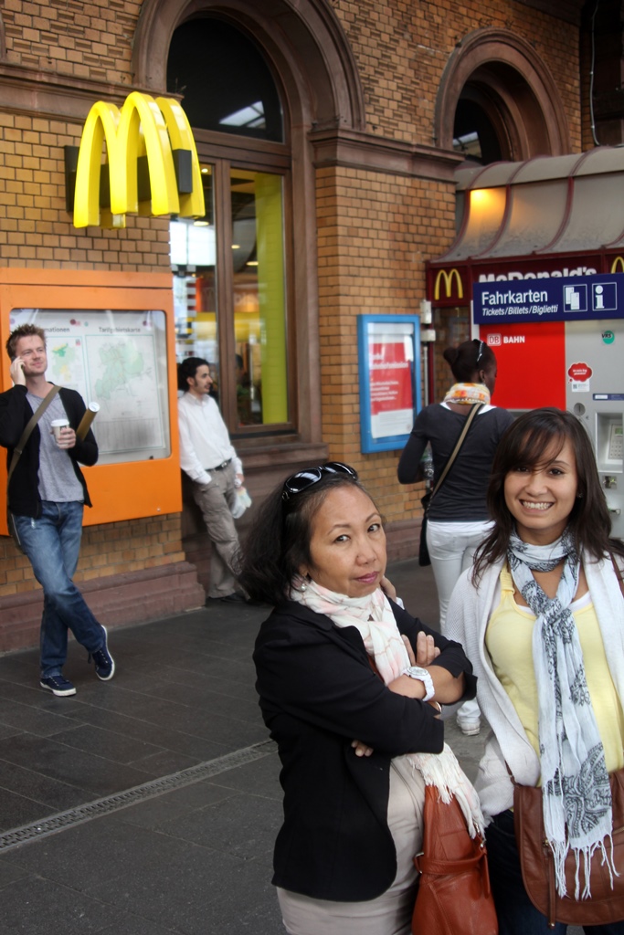
Unplanned Stop, Bonn Train Station
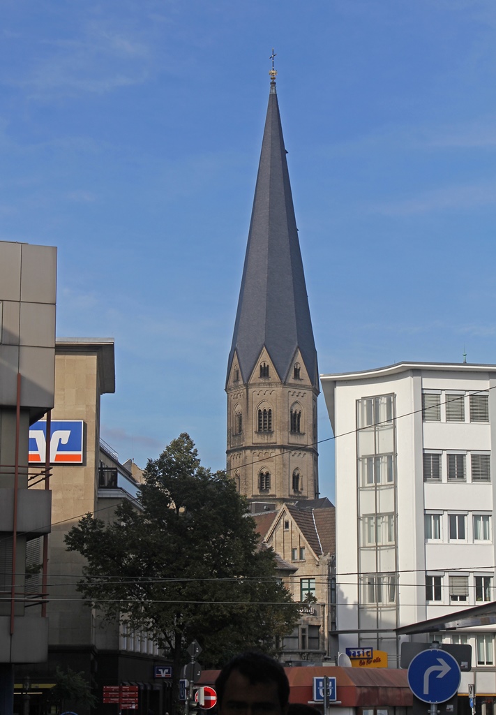
Tower of Bonn Minster Church
At Bonn we got on the next non-Intercity train, but by this time it was rush
hour, so the train was packed. Nella found a place to sit, and I think eventually
Connie did too, but I ended up standing all the way back to Cologne.
On arriving in Cologne, we decided to do some walking around, as this would be our
last evening in the city. There were some things we’d seen in the old town from
the top of the cathedral that we wanted to get closer views of. First, we headed
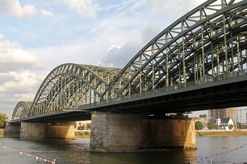
toward the river to get a closer view of the Hohenzollern Bridge. It looked big
from the cathedral, but from underneath it was gigantic. With 1200 trains
crossing it daily, we expected to see some traffic, but we were disappointed – it
was probably a slow time of day.
Hohenzollern Bridge
After passing under the bridge, we found a small park with a sort of a
fountain arrangement you could walk around on. From here there was a nice
view of the Gross St. Martin (or Great St. Martin) Church, with its
distinctive tower. The church in its present form dates back to the 13th
Century, when it was part of a Benedictine abbey. The monks were chased
away by French troops in 1802, and the abbey was demolished later that
century (leaving the church). The church was largely destroyed by Allied
bombing during World War II. Restoration work began in 1948, and the
exterior was restored by 1965. The interior still needed work, though,
and the church was not able to re-open for normal services until 1985. The
church is now open to visitors, but not to us, as we passed by too late in
the day.
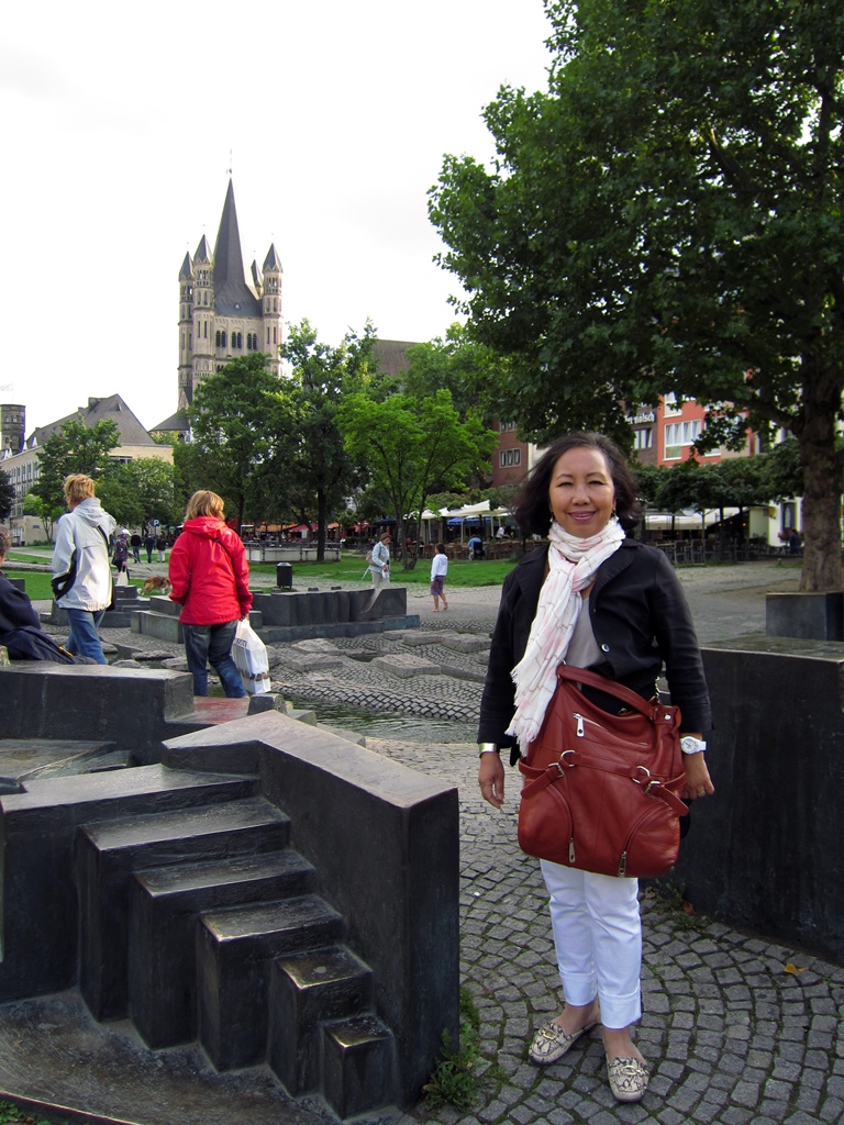
Nella at Park
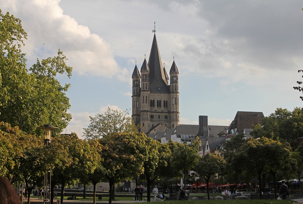
Gross St. Martin Church
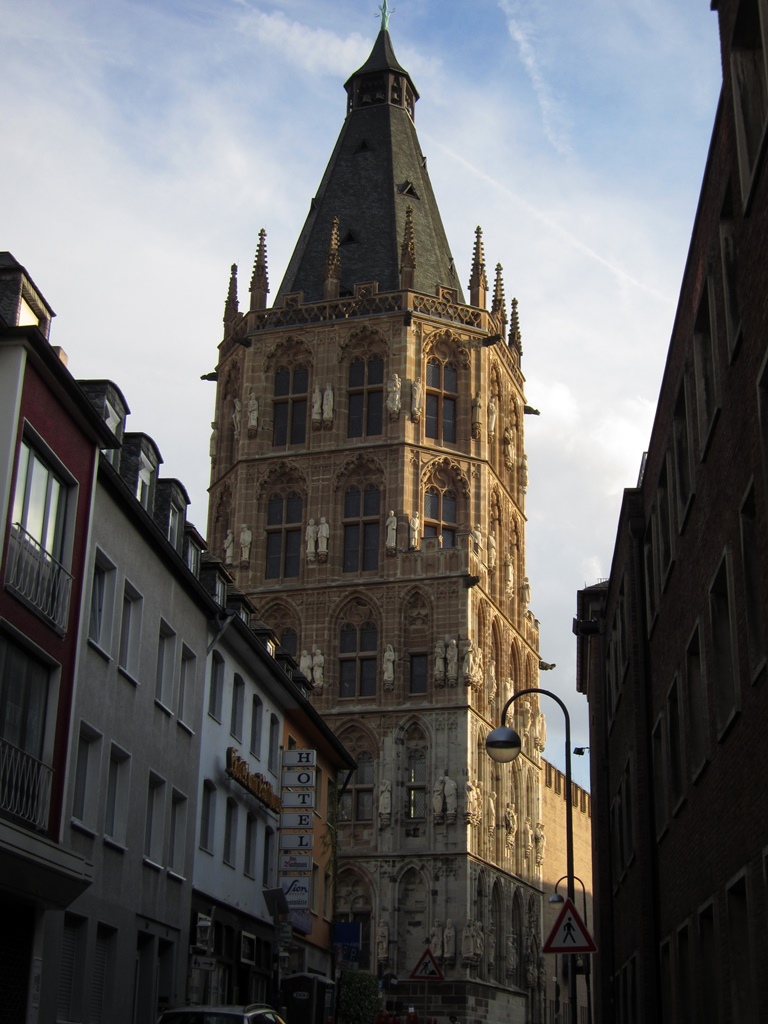
Not far from the church was the Cologne Town Hall. This building is Germany’s
oldest city hall, with documented activity going back 900 years. It has a
200-foot Gothic-style tower (first built in the 15th Century) which is covered
with figures and resembles a church tower. On close examination, however, many
of the figures can be seen to be of an obviously secular nature, rather than
saints and martyrs. There is also a Renaissance-style loggia, from the 16th
Century, whose roof is used as a balcony. All of this was damaged or destroyed
during the war and has been painstakingly reconstructed.
Tower, Town Hall
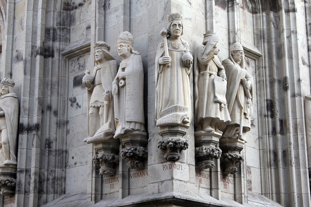
Figures on Town Hall
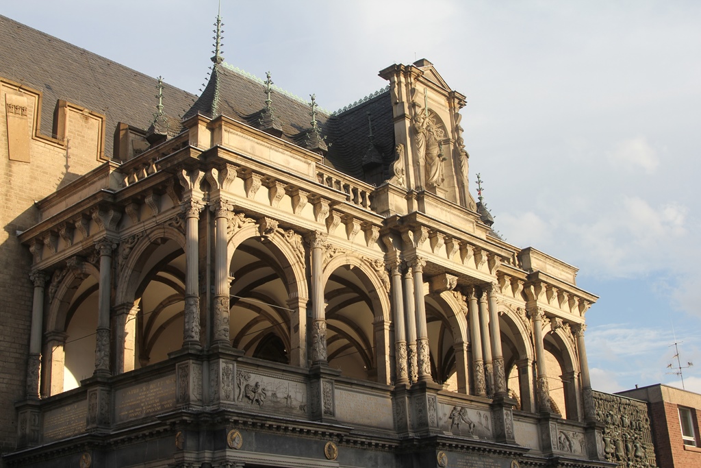
Loggia
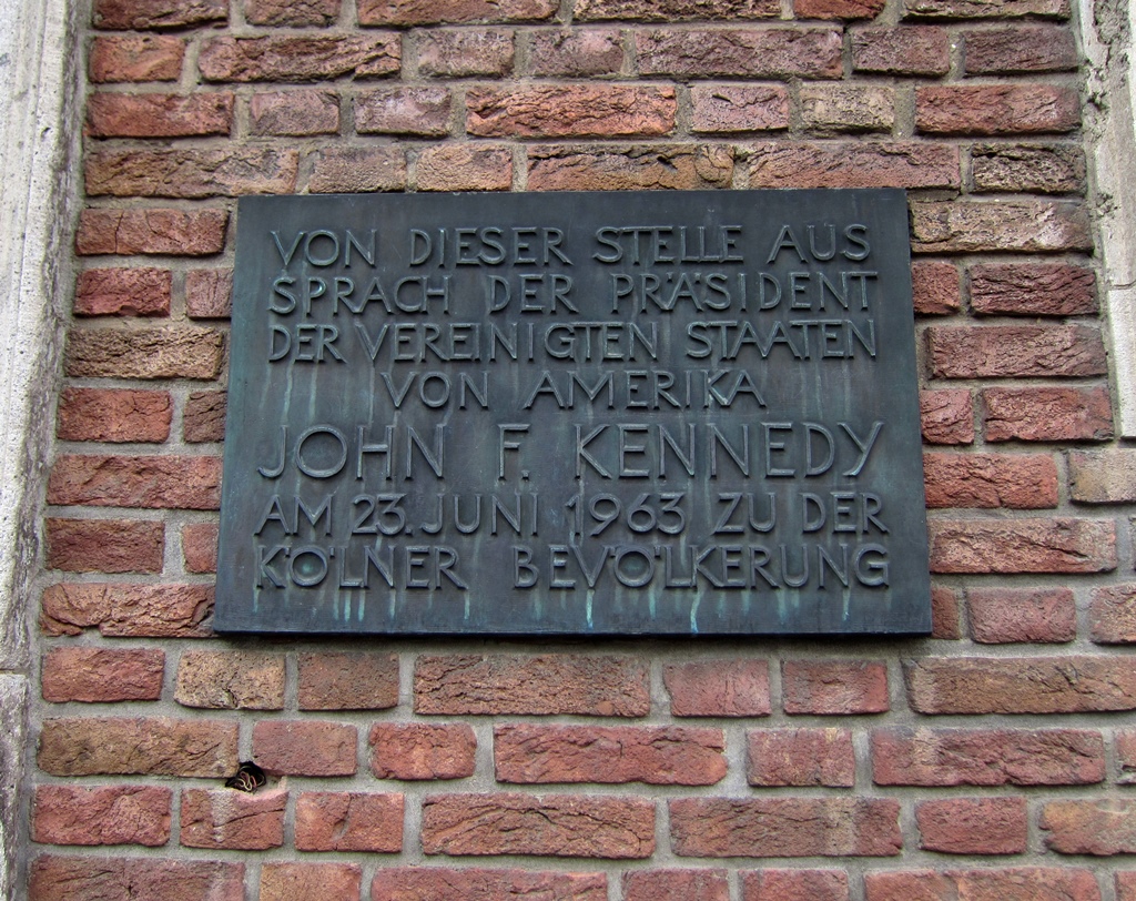
On a building near the Town Hall we found a plaque that said something about
John F. Kennedy. Apparently JFK gave a short speech in this location on June
23, 1963, possibly a warm-up for the famous "Ich bin ein Berliner"
speech he was to give in Berlin three days later.
Plaque Commemorating JFK Speech
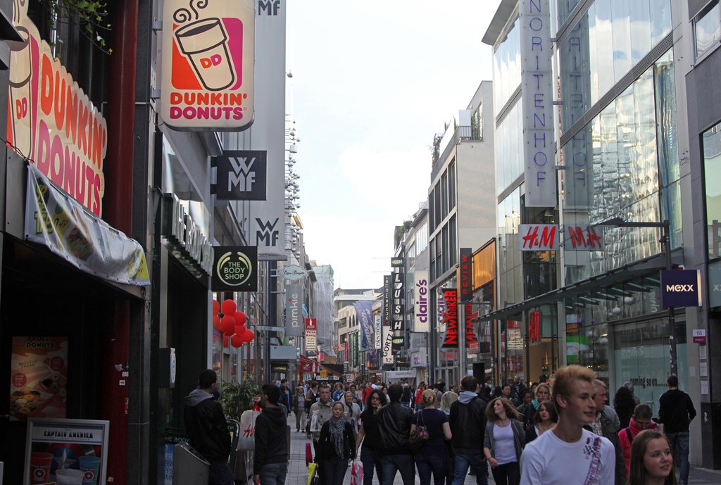
We continued to explore the Old Town until we found Hohe Strasse, a
busy shopping street. Hohe Strasse (High Street) has been a shopping
destination since the 19th Century, and there were many points of interest
for us there (well, for Nella and Connie anyway).
Hohe Straße
After some shopping and some dinner we returned to the hotel and started
packing. The next day would be a busy one. We needed to check out of the
hotel and catch a train. But between these two activities there would be
an interval of a few hours. We planned on spending some of this time
visiting the more traditional of Cologne’s major art museums – the
Wallraf-Richartz.


