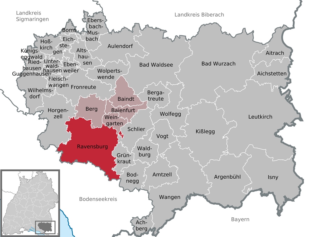
District of Ravensburg
Adjacent to Weingarten, the city of Ravensburg is much larger in both area (by a factor of
more than 7) and population (over 51,000, more than double). Both towns are located in the
district of Ravensburg, which is named for its largest city (i.e. Ravensburg). The
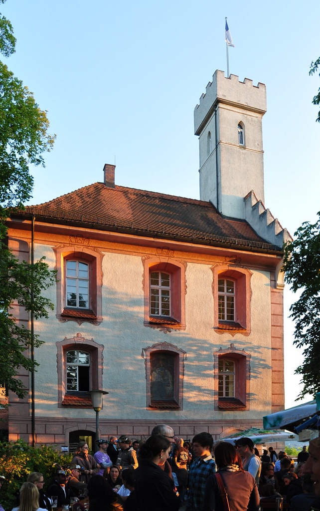
district/city was named after a castle above the town (which still exists, but is now
called Veitsburg), but the origin of the castle’s name is uncertain. There are different
theories about the name, but none of them have anything to do with black birds. One thing
that’s clear, however, is the local pronunciation of the name – RAHvensburg.
Veitsburg Castle
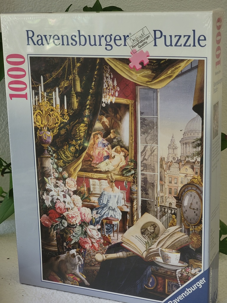
If you’re not local, your awareness of the city (if you have any) may come from toys or
jigsaw puzzles – the Ravensburger AG group of companies has a worldwide presence, but is
headquartered here.
A Ravensburger Puzzle
While evidence of human habitation in the area dates back to well before the Common Era, the
first written reference to Ravensburg as a city comes from 1088, around which time the city
was founded by a Frankish dynasty called the Welfs. In 1268 the city became the property of
the Holy Roman Empire, and was named an Imperial Free City (a self-ruling city with a certain
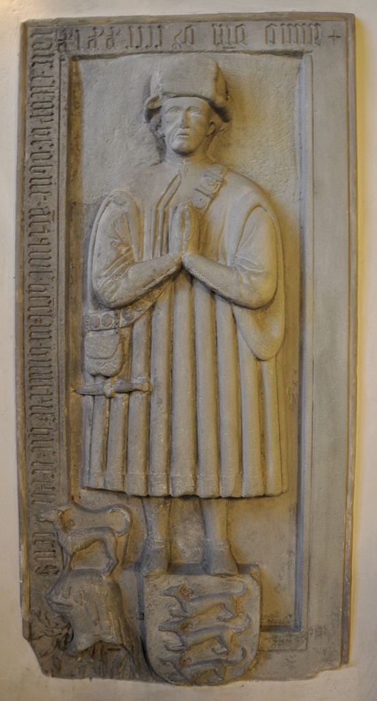
amount of autonomy) in 1276. Around 1380, the Great Ravensburg Trading Society was founded
by a group of area families. The main Ravensburg-based participant in the founding was
colorfully named Henggi Humpis, and the Humpis family was economically and politically
dominant in the area over the next 150 years.
Grave marker of Henggi Humpis
The Great Ravensburg Trading Society and the city prospered during this time, trading
locally-manufactured textiles and eventually paper throughout Europe (Ravensburg was home to
one of Germany’s first paper mills, and became the largest paper producer north of the Alps).
With the prosperity came a great deal of local construction, resulting in many towers,
buildings and city gates that survive to the present day. But in 1618 the Thirty Years’ War
began, and a considerable toll was taken on Ravensburg (like the rest of Europe), leaving the
city depopulated and impoverished.
After the war, Ravensburg’s government was restructured to provide roughly equal
representation for Catholics and Protestants. The economy of the depleted town was largely
stagnant, however, and remained so into the 19th Century. In 1810 the city was incorporated
into the Kingdom of Württemberg, which led to a certain amount of economic recovery. The
paper mills disappeared during this century, but textiles remained a source of income, and
expertise developed in support of these industries morphed the city into a respected center
for mechanical engineering, an industry which survives into the present. Introduction of a
railroad line also made it easier to share the city’s goods and services with the rest of the
world.
During World War II, Ravensburg was deemed by the Allies to be of only limited strategic
importance. Together with the presence of a large aid supply center belonging to the Swiss
Red Cross, this led to the city being bypassed by Allied bombers, leaving the city largely
undamaged. This accounts for the survival of the historic buildings in Ravensburg’s Old Town
community. A community we wanted to visit!
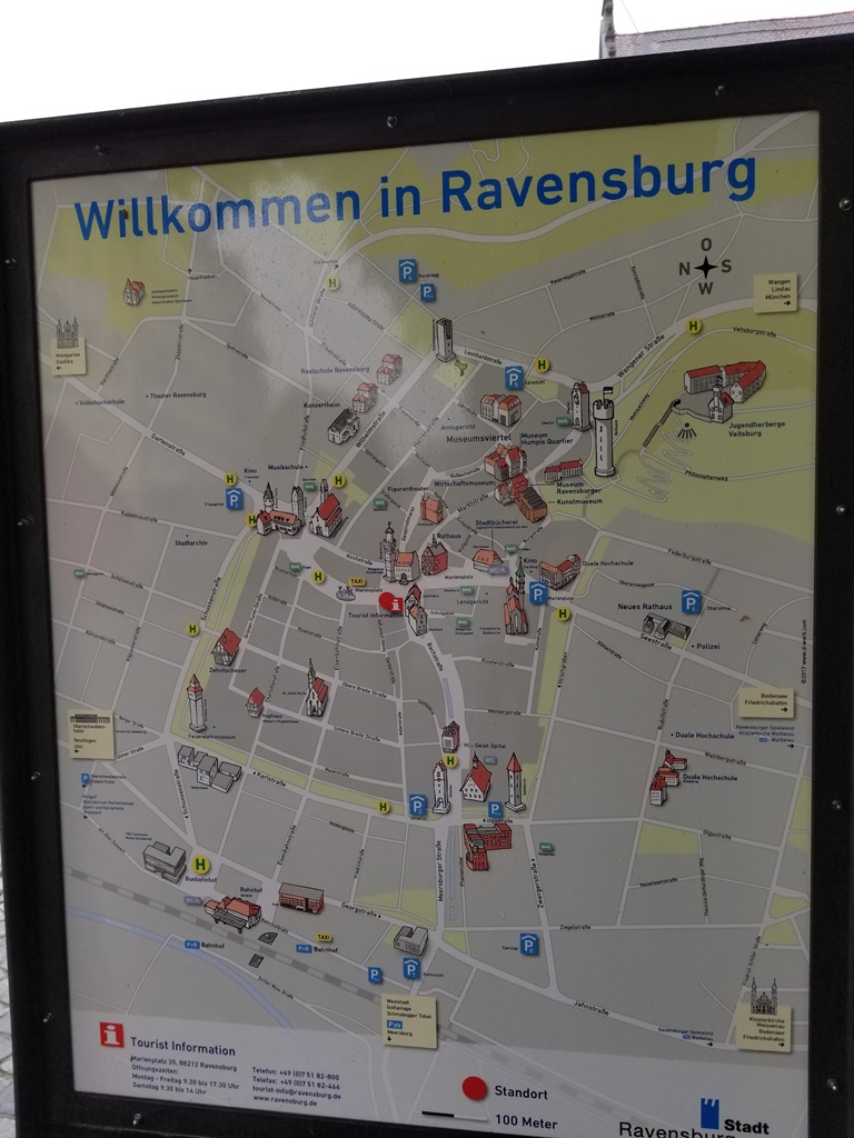
City Map
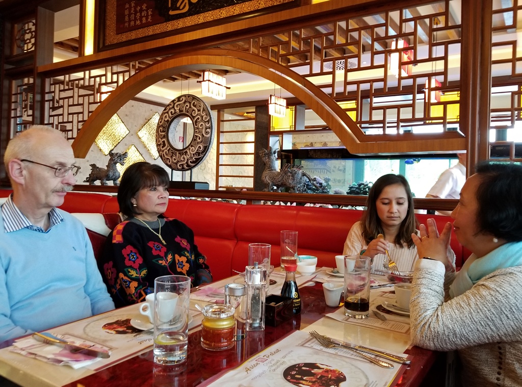
We were slow to get started after our recent exertions and some residual jet lag, and Werner
and Nila weren’t able to drag us out of the house until it was already lunchtime, so the
first destination for our Ravensburg expedition was a Ravensburg Asian buffet.
Werner, Nila, Connie and Nella at Asien Palast
After lunch we parked at a Ravenburg shopping mall called the Gänsbühl Center and got our
first look at the Old Town. There seemed to be many shops in the Old Town, and apparently
this is the place to go in the region if you’re interested in some serious shopping. There
weren’t too many people out, though – it was a Monday afternoon, and the weather was
threatening (we did get some showers during our visit, but we were armed with umbrellas).
We saw some interesting old buildings near the mall, including the Museum Humpis-Quartier
(devoted to local history but closed on Mondays) and the oldest of the city gates, the
14th-Century Obertor (“upper gate” – a “tor” is a gate, and a “turm” is a tower, as
we’ll see below).
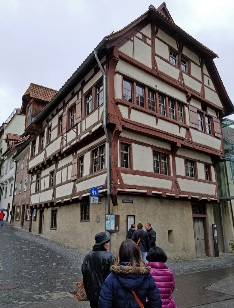
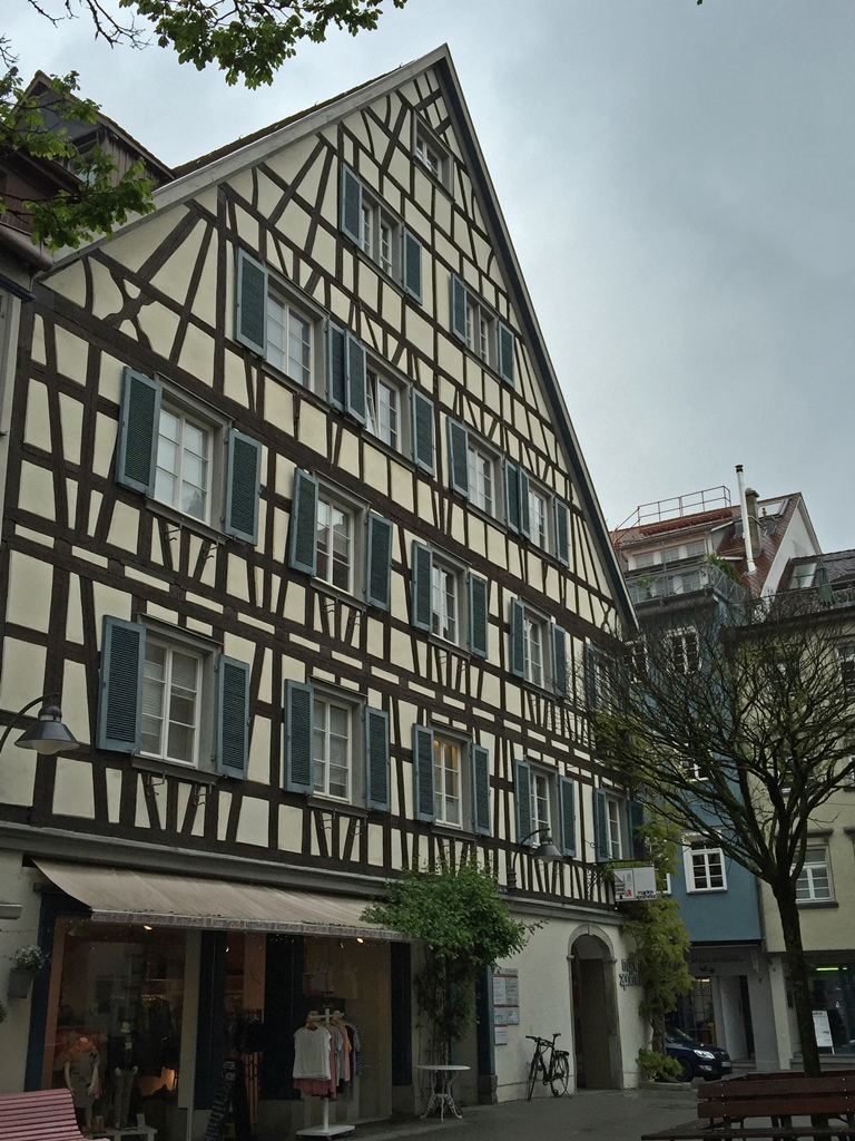
Building on Roßbachstraße
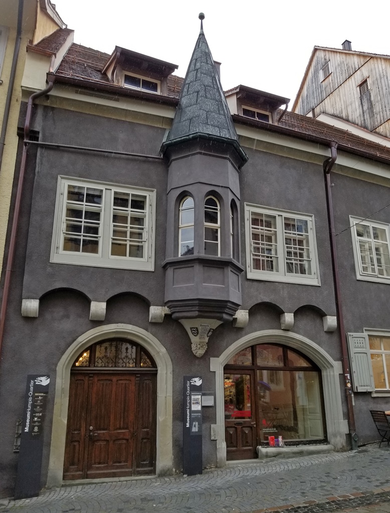
Museum Humpis-Quartier
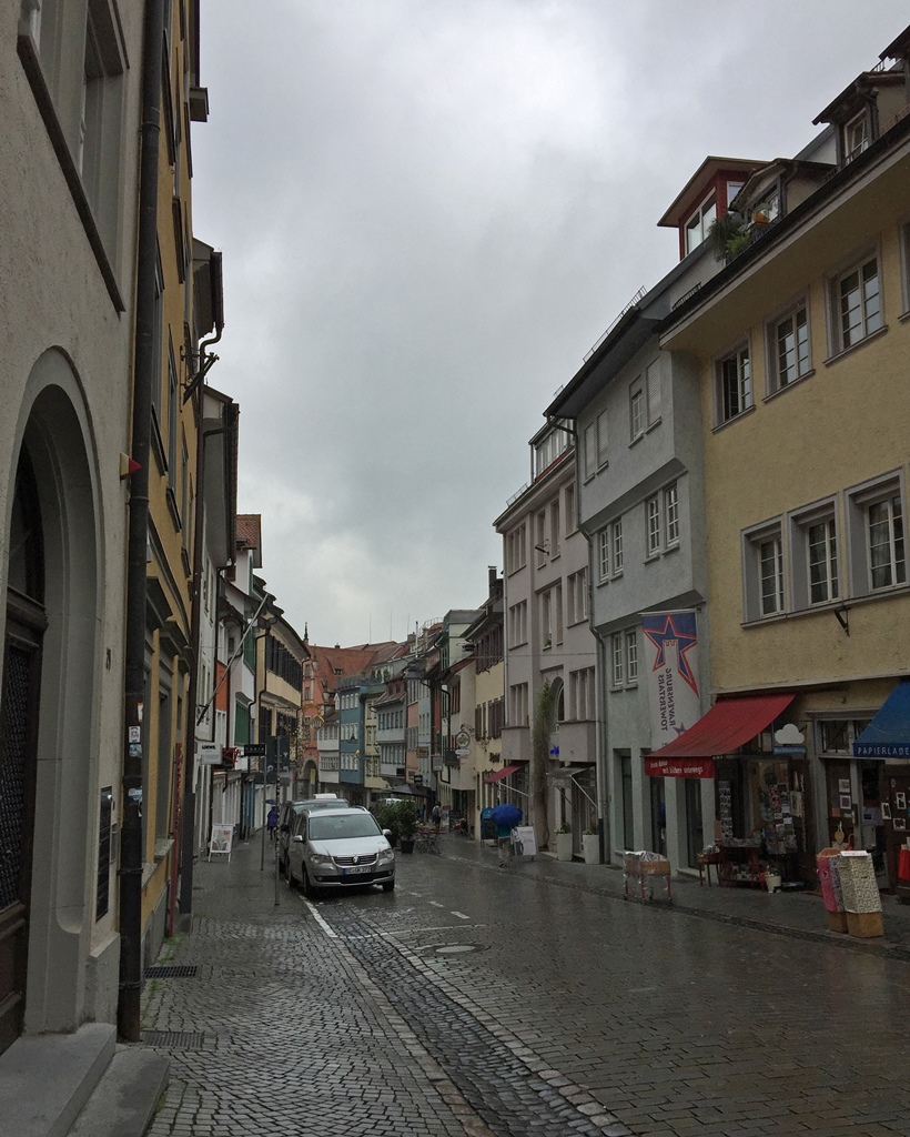
Marktstraße
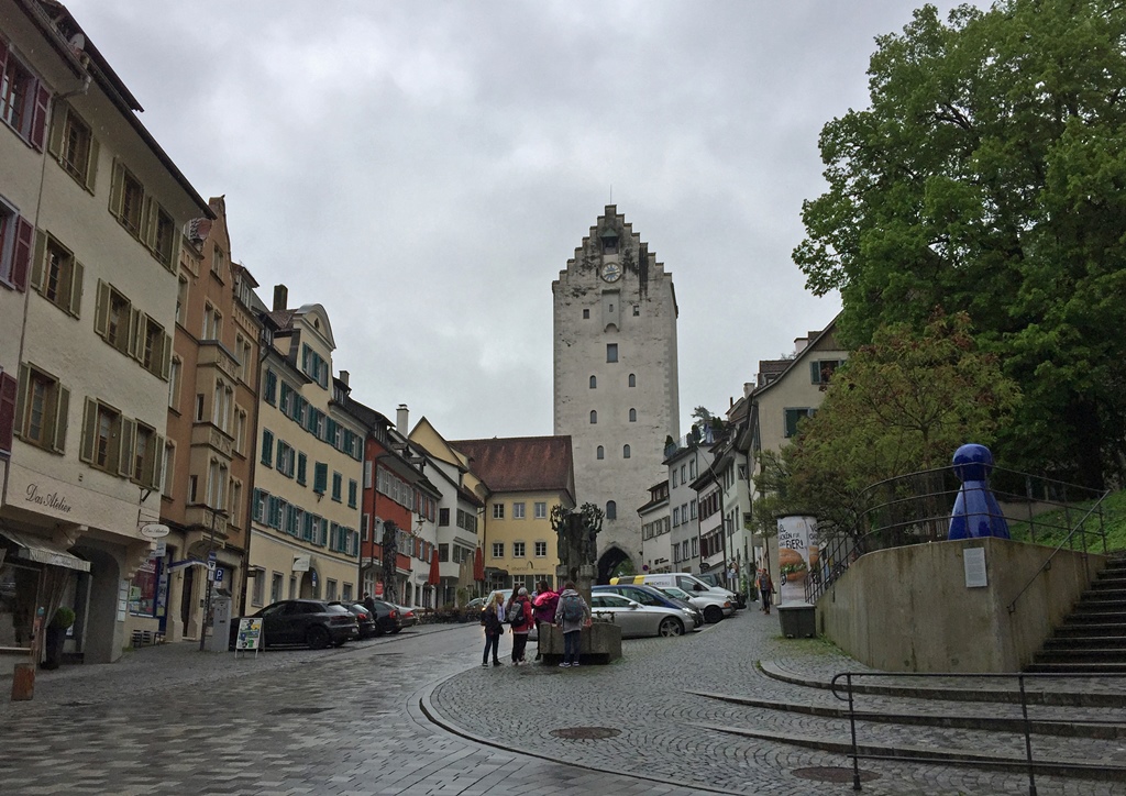
Marktstraße (opposite direction) with Obertor
The Gänsbühl Center is at the southeastern edge of the Old Town, so we made our way toward
the middle of things, in a northwesterly direction. We enjoyed some of the scenery along the way.
Building on Eichelstraße
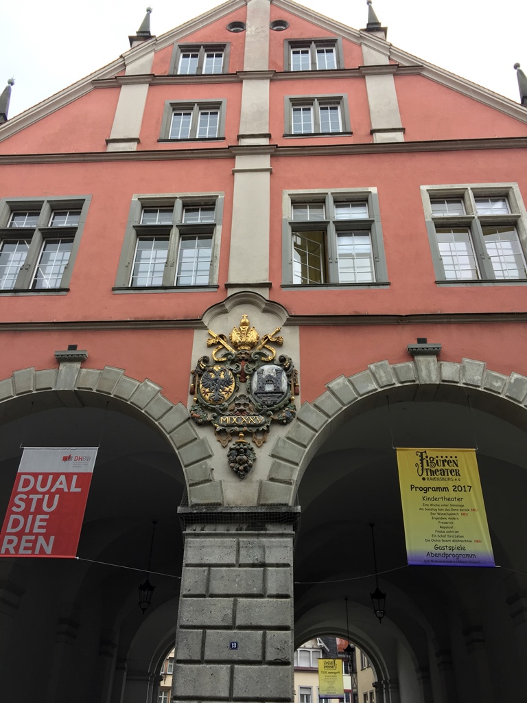
Building on Marktstraße
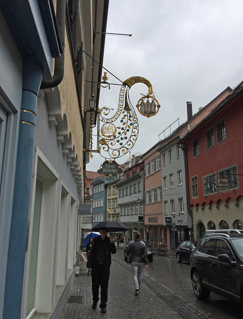
Bob and Drei Könige Sign, Marktstraße
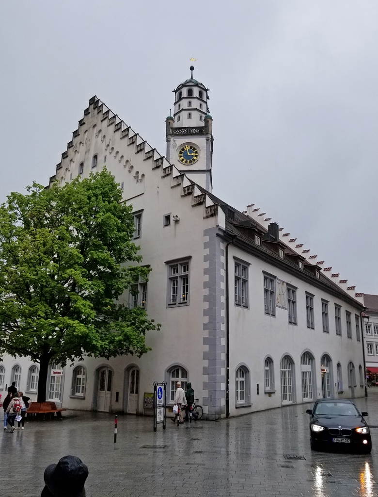
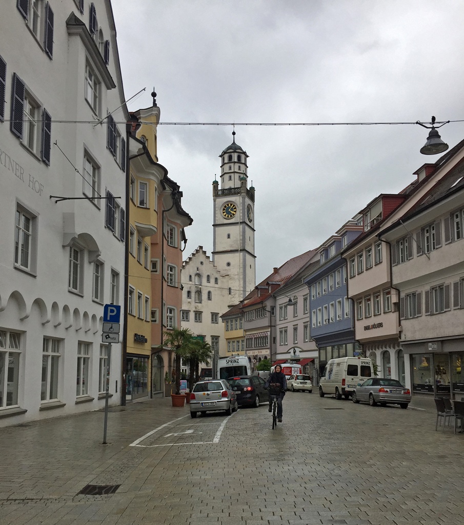
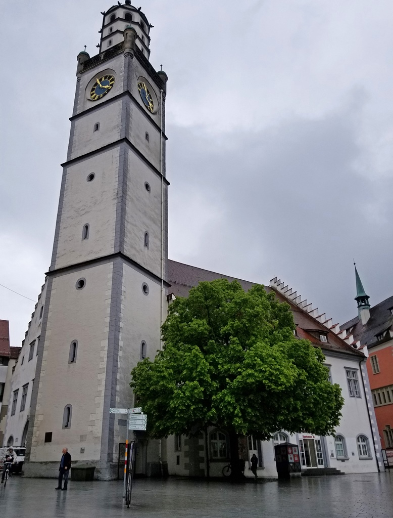
The Old Town center is occupied by a square called the Marienplatz, which stretches
along an area once occupied by the city wall before a 14th Century expansion. A tower
called the Blaserturm was once part of this wall but is now attached to a 15th
Century building called the Waaghaus, which once held the city scales and the city
mint but later turned into a department store. Other buildings in the Marienplatz include
the Lederhaus (leather house, once a sales outlet for shoemakers, saddlers and
tanners; now a tourist information office) and the old town hall, or Rathaus.
Waaghaus (with Blaserturm)
Blaserturm
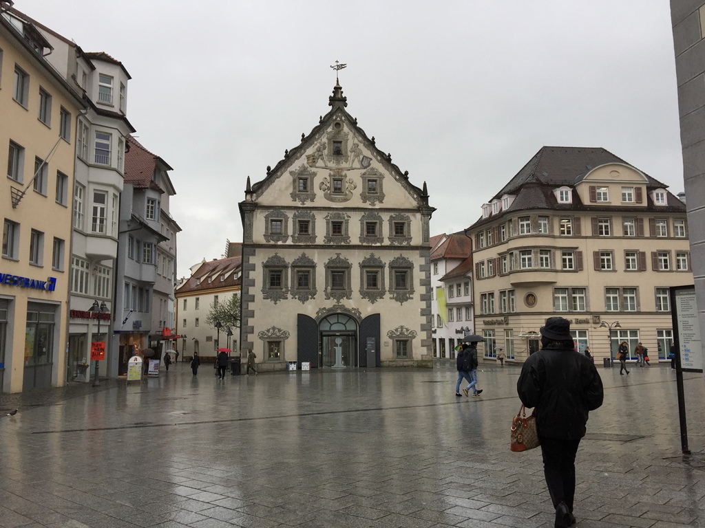
Lederhaus/TI Building, Marienplatz
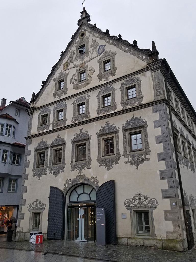
Lederhaus/TI Building, Marienplatz
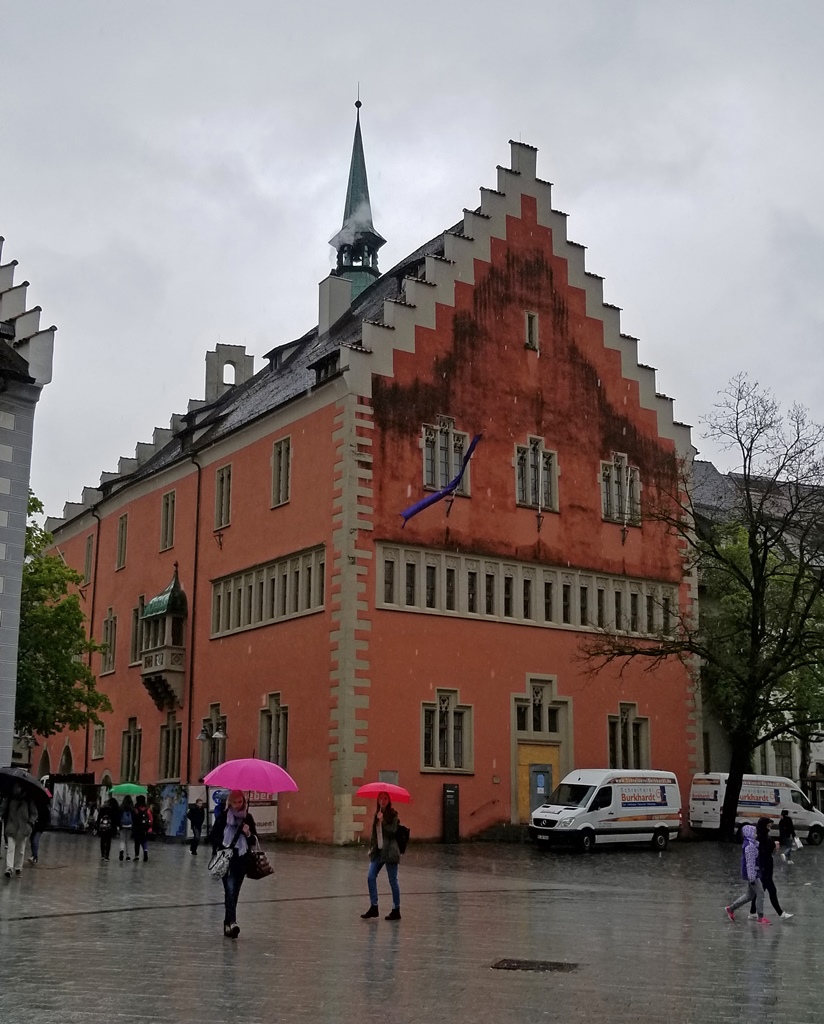
Rathaus
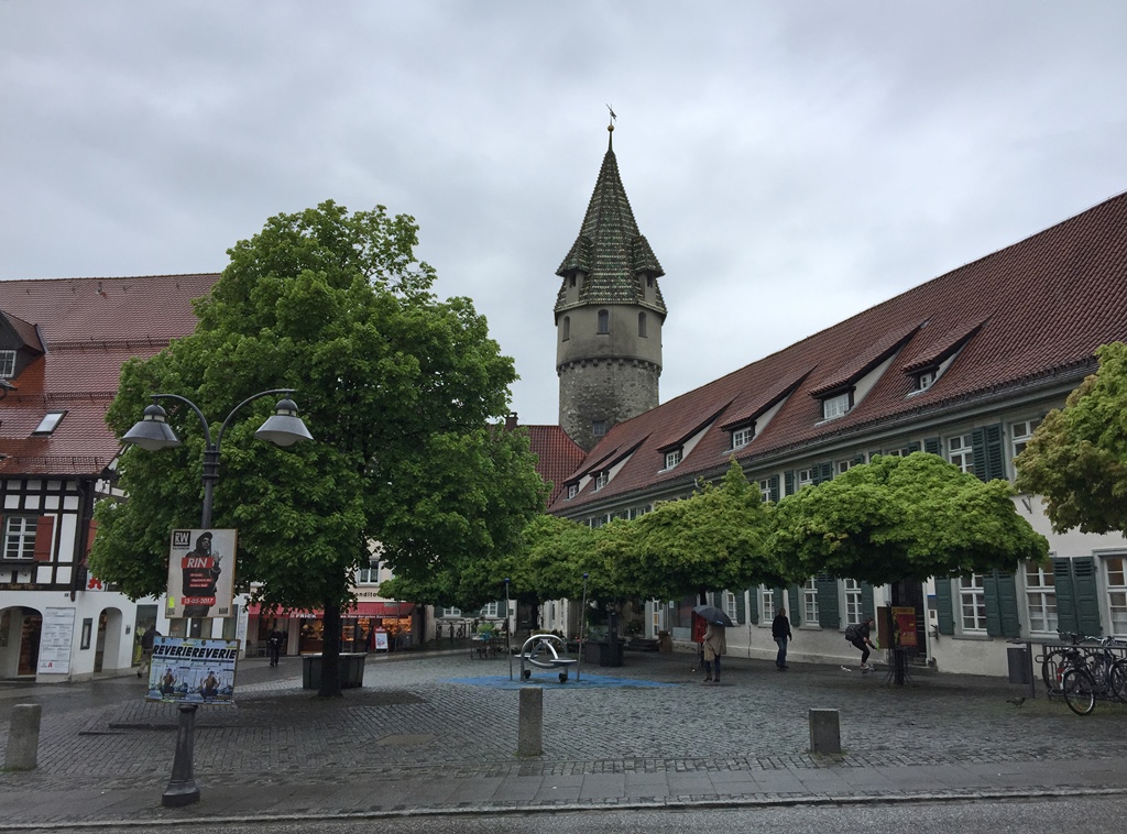
We continued along the Marienplatz until we reached the north edge of the Old Town. Here
we found the Grüner Turm (green tower), the Frauentor (ladies’ gate) and a
church called the Liebfrauenkirche.
Grüner Turm/Green Tower
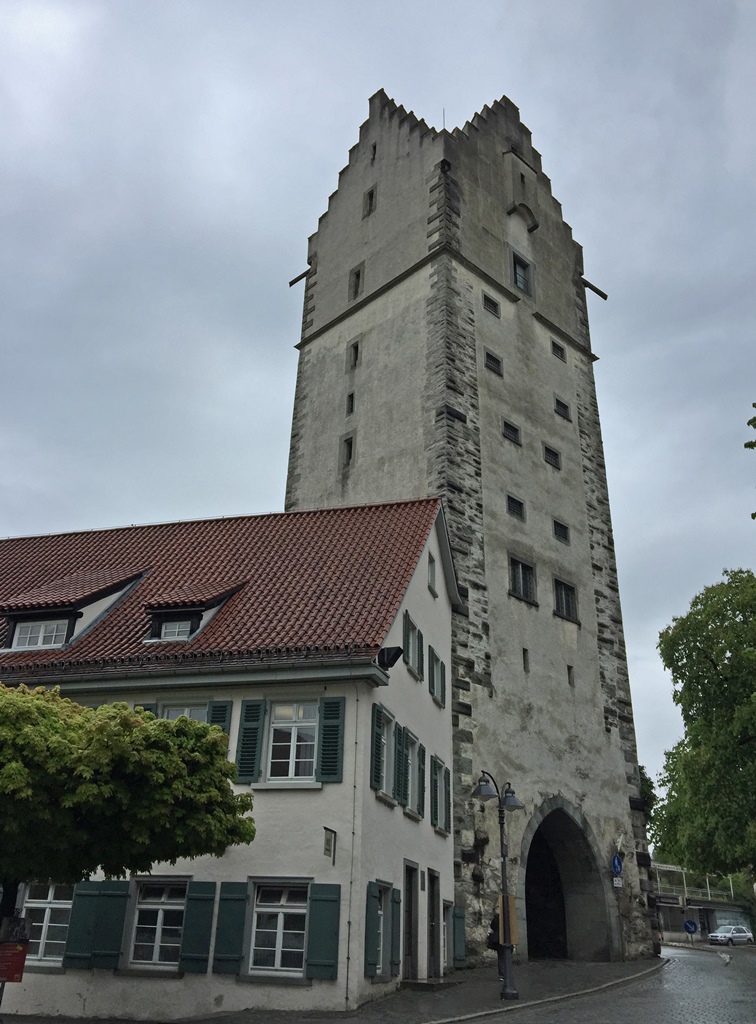
Frauentor (Ladies' Gate)
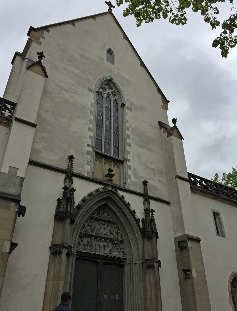
Liebfrauenkirche
At this point we started to make our way back toward the Gänsbühl Center, using some side
streets. This took us back past the Waaghaus/Blaserturm again.
Kirchstraße with Blaserturm
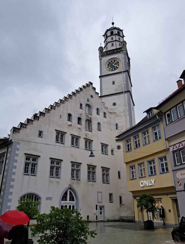
Waaghaus with Blaserturm
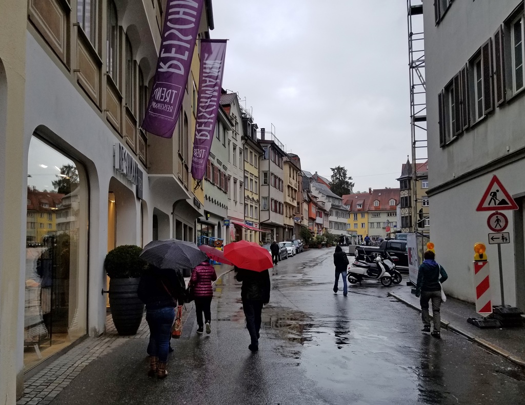
Gespinstmarkt
Eventually we reached a street called the Roßbachstraße, which seemed to have a
small channeled stream running along it (the Roßbach maybe?). From the
Roßbachstraße we could catch a glimpse of the city’s tallest tower, the 167-foot
Mehlsack (“flour sack” – opinions differ as to where this name came from).
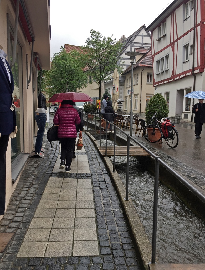
Roßbachstraße
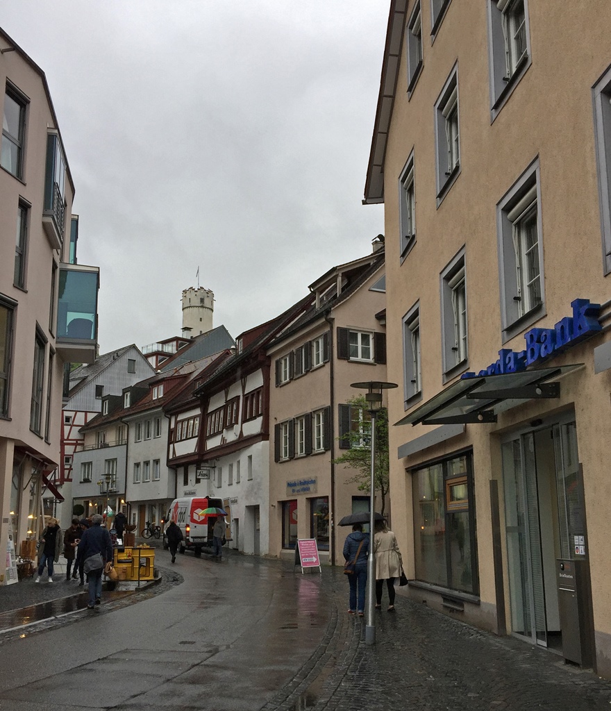
Roßbachstraße with Mehlsack
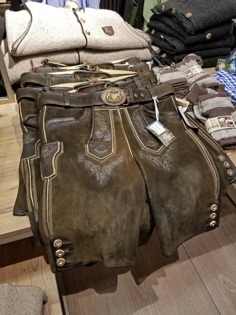
On reaching the Gänsbühl Center, we decided to do a little mall exploration, finding a
department store called K&L Ruppert. In addition to typical department store stuff, they
also sold traditional German clothing. We considered, but decided against buying, as it
was a little pricey and we couldn’t figure out any occasions in Southern California on
which we’d wear it (an Oktoberfest party maybe?).
Lederhosen at K&L Ruppert
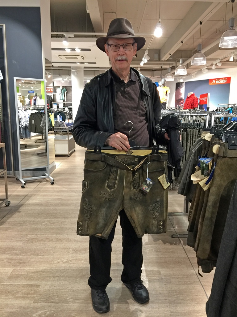
Bob with Lederhosen
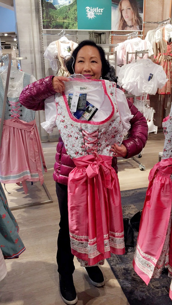
Nella with Dirndl
At this point we returned to Weingarten for dinner and some relaxation. And sadly, we
needed to begin departure preparations. We’d had a wonderful time with Werner and Nila
and their growing family, but it was time to move on to our next destination for this
trip – Bavaria’s capital city, Munich.
